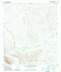
1971 Map of Bone Spring NE
USGS Topo · Published 1991About this map
Maravillas Creek winds through the heart of this West Texas landscape, serving as a vital geographical artery in an arid environment where water management defines the human footprint. This 1971 survey illustrates a region dominated by ranching infrastructure, characterized by a series of family-named water sources and improvements such as Henderson Windmill, Shackleford Well, and Sons Well. The terrain transitions from the dramatic rises of the Santiago Mountains in the southwest to the deep cut of Big Brushy Canyon in the southeast. Conservation and public land boundaries are clearly established here, with the map showing portions of Big Bend National Park and the Black Gap Wildlife Management Area. A lone Landing Strip and various windmills like Gooden Windmill suggest the reliance on aerial and subterranean resources in this sparsely populated territory.
Find a feature on this map
20 named features on this map. Tap any name to fly to it.
Don’t see what you’re looking for? This feature index may not catch every label — zoom into the map to look around manually.
Map Details
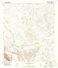
Editions of this 1971 Bone Spring NE Map
2 editions found
Other maps of this area

1917 · Bone Spring
USGS Topo · 1:62,500

1917 · Hood Spring
USGS Topo · 1:62,500

1918 · Bone Spring
USGS Topo · 1:125,000

1918 · Hood Spring
USGS Topo · 1:62,500

1918 · Dove Mountain
USGS Topo · 1:62,500

1918 · Bone Spring
USGS Topo · 1:62,500

1919 · Maravillas Canyon
USGS Topo · 1:62,500

1920 · Bone Spring
USGS Topo · 1:62,500

1931 · Hood Spring
USGS Topo · 1:62,500

1959 · Emory Peak
USGS Topo · 1:250,000