2024 Map of Bonfield
USGS Topo · Published 2024About this map
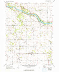
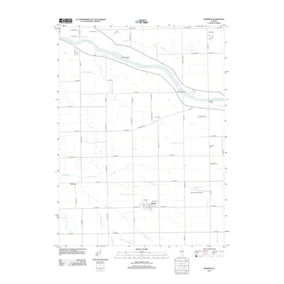
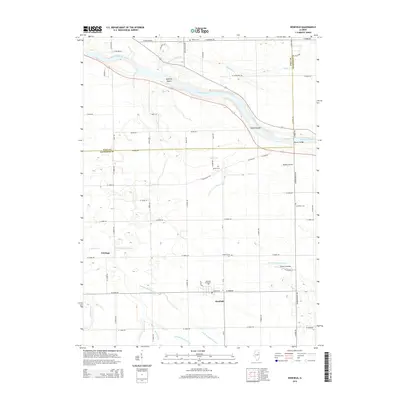
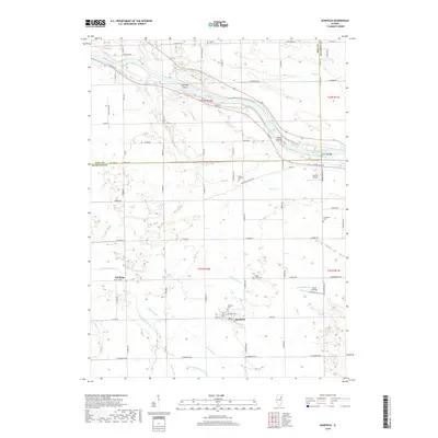
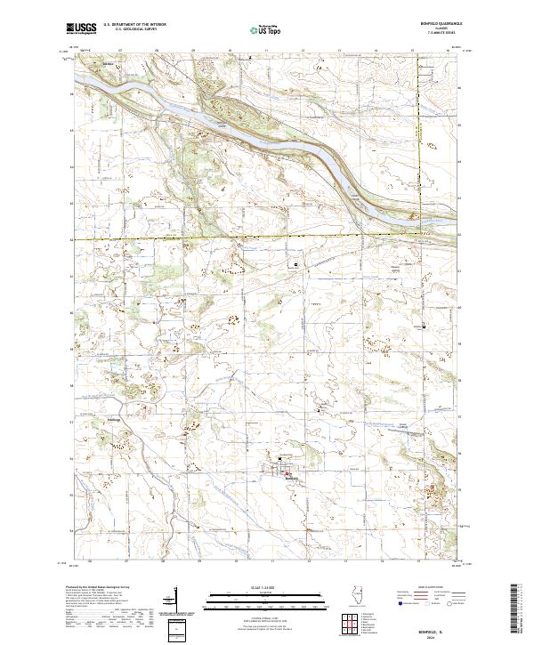
Bonfield serves as the primary settlement in this part of Kankakee County, situated at the intersection of S Bonfield Rd and N Croswell Ave. The landscape is defined by the winding course of the Kankakee River, which cuts through the northern portion of the quadrangle and contains geographic features like Hoffman Island and the Smith Islands. Rural life is centered around a network of country roads and several small, scattered burial grounds, including Bonfield Cem, Maple Grove Cem, and Shreffler Cem, which offer significant genealogical value for local researchers.
Find a feature on this map
62 named features on this map. Tap any name to fly to it.
Don’t see what you’re looking for? This feature index may not catch every label — zoom into the map to look around manually.
Map Details
Editions of this 2024 Bonfield Map
This is the sole edition of this map. No revisions or reprints were ever made.
Historical Maps of Bonfield Through Time
6 maps found