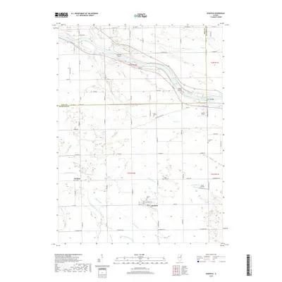
2018 Map of Bonfield
USGS Topo · Published 2018About this map
The Kankakee River winds through this Illinois landscape, defining the northern geography with features like Hoffman Island and the Smith Islands. The settlement of Bonfield serves as a central hub, surrounded by a network of drainage systems including the N Bonfield Br and S Bonfield Br. This map provides a detailed view of the rural Kankakee County cemetery network, including Bonfield Cem, Maple Grove Cem, and Schreffler Cem, which offer significant genealogical value for the region. The transition from riverside environments to agricultural plains is marked by small aviation landmarks like Hawker Airport and the outlying community of Frielings. The convergence of Rayns Cr and Terry Cr further illustrates the complex watershed that feeds the river, while the boundary of Will Co and Kankakee Co cuts through the northern portion of the quadrangle.
Find a feature on this map
65 named features on this map. Tap any name to fly to it.
Don’t see what you’re looking for? This feature index may not catch every label — zoom into the map to look around manually.
Map Details
Editions of this 2018 Bonfield Map
This is the sole edition of this map. No revisions or reprints were ever made.
Other maps of this area

1892 · Wilmington
USGS Topo · 1:62,500

1918 · Wilmington
USGS Topo · 1:62,500

1922 · Kankakee
USGS Topo · 1:62,500

1923 · Herscher
USGS Topo · 1:62,500

1924 · Kankakee
USGS Topo · 1:62,500

1925 · Herscher
USGS Topo · 1:62,500

1949 · Peotone
USGS Topo · 1:62,500

1953 · Wilton Center
USGS Topo · 1:24,000

1953 · Symerton
USGS Topo · 1:24,000

1953 · Chicago
USGS Topo · 1:250,000