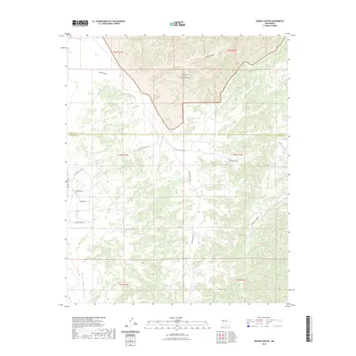
2023 Map of Bonine Canyon
USGS Topo · Published 2023About this map
The Cebolla Wilderness dominates the northern reaches of this landscape, where the high desert terrain is carved by a network of drainage systems. The Cibola and Catron County line bisects the territory, marking a boundary between managed wilderness and rural land use. Water movement is the primary architect of the topography here, defined by the winding paths of Cebolla Creek and several significant cuts including Bonine Canyon, Tank Canyon, and the deep Goat Tank Canyon.
Find a feature on this map
21 named features on this map. Tap any name to fly to it.
Don’t see what you’re looking for? This feature index may not catch every label — zoom into the map to look around manually.
Map Details
Editions of this 2023 Bonine Canyon Map
This is the sole edition of this map. No revisions or reprints were ever made.
Other maps of this area

1917 · Broom Mountain
USGS Topo · 1:125,000

1954 · Saint Johns
USGS Topo · 1:250,000

1954 · Socorro
USGS Topo · 1:250,000

1957 · Saint Johns
USGS Topo · 1:250,000

1958 · Socorro
USGS Topo · 1:250,000

1958 · Saint Johns
USGS Topo · 1:250,000

1962 · Socorro
USGS Topo · 1:250,000

1962 · Saint Johns
USGS Topo · 1:250,000
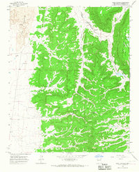
1964 · Sand Canyon
USGS Topo · 1:24,000
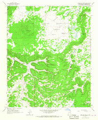
1964 · Cebollita Peak
USGS Topo · 1:24,000