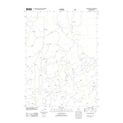
2012 Map of Bonita Butte
USGS Topo · Published 2012About this map
Bonita Butte and the surrounding volcanic landscape of Siskiyou County are defined by a complex network of forest access routes and dramatic topographical landmarks. The terrain is marked by significant elevations such as Three Sisters and Lookout Butte, while key transit points through the high country are found at Six Shooter Pass and Kelley Pass. In the eastern section of the map, Lava Camp serves as a lone named settlement or base point amidst the high-altitude terrain. The presence of Tennant Lava Beds Rd and numerous U.S. Forest Service roads, including Davis Rd and Usfs 45 N 05, illustrates the area's ongoing management and its use for timber or recreational access within the national forest system. Surveyed by the U.S. Geological Survey, this sheet provides a detailed look at the varied peaks and passes that characterize this corner of Northern California.
Find a feature on this map
30 named features on this map. Tap any name to fly to it.
Don’t see what you’re looking for? This feature index may not catch every label — zoom into the map to look around manually.
Map Details
Editions of this 2012 Bonita Butte Map
This is the sole edition of this map. No revisions or reprints were ever made.
Other maps of this area

1886 · Modoc Lava Bed
USGS Topo · 1:250,000

1892 · Modoc Lava-Bed
USGS Topo · 1:250,000

1950 · Mt. Dome
USGS Topo · 1:62,500

1950 · Bray
USGS Topo · 1:62,500

1950 · Dorris
USGS Topo · 1:62,500

1952 · Medicine Lake
USGS Topo · 1:62,500

1954 · Alturas
USGS Topo · 1:250,000

1958 · Alturas
USGS Topo · 1:250,000

1962 · Alturas
USGS Topo · 1:250,000

1965 · Alturas
USGS Topo · 1:250,000