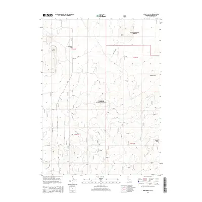
2015 Map of Bonita Butte
USGS Topo · Published 2015About this map
Klamath National Forest and Modoc National Forest converge in this high-altitude corner of Siskiyou County, dominated by volcanic peaks and high-desert passes. The terrain is defined by prominent elevations such as Bonita Butte and Lookout Butte, alongside the distinct volcanic landscape of the Callahan Flow. The cartography reveals a complex network of forest access routes and trails with descriptive names like Whiplash, Rattle Trap, and the curiously titled Absolutely Nothing.
Find a feature on this map
48 named features on this map. Tap any name to fly to it.
Don’t see what you’re looking for? This feature index may not catch every label — zoom into the map to look around manually.
Map Details
Editions of this 2015 Bonita Butte Map
This is the sole edition of this map. No revisions or reprints were ever made.
Other maps of this area

1886 · Modoc Lava Bed
USGS Topo · 1:250,000

1892 · Modoc Lava-Bed
USGS Topo · 1:250,000

1950 · Mt. Dome
USGS Topo · 1:62,500

1950 · Bray
USGS Topo · 1:62,500

1950 · Dorris
USGS Topo · 1:62,500

1952 · Medicine Lake
USGS Topo · 1:62,500

1954 · Alturas
USGS Topo · 1:250,000

1958 · Alturas
USGS Topo · 1:250,000

1962 · Alturas
USGS Topo · 1:250,000

1965 · Alturas
USGS Topo · 1:250,000