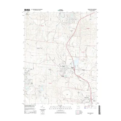
2015 Map of Bonne Terre
USGS Topo · Published 2015About this map
The Lead Belt defines this section of Saint Francois County, anchored by the industrial and residential core of Bonne Terre. This 2015 perspective illustrates the transition from traditional mining areas to modern suburban developments like Terre du Lac, where a dense network of lakes such as Lac Marseilles and Lac Calista replaces the older landscape. Historically significant sites are numerous, particularly cemeteries like Smallpox Cemetery and Saint Francois Cemetery, which provide vital touchstones for genealogists studying the families of the Big River valley.
Find a feature on this map
94 named features on this map. Tap any name to fly to it.
Don’t see what you’re looking for? This feature index may not catch every label — zoom into the map to look around manually.
Map Details
Editions of this 2015 Bonne Terre Map
This is the sole edition of this map. No revisions or reprints were ever made.
Other maps of this area

1901 · De Soto
USGS Topo · 1:125,000

1904 · Farmington
USGS Topo · 1:62,500

1905 · Bonneterre
USGS Topo · 1:62,500

1906 · Farmington
USGS Topo · 1:62,500

1915 · Crystal City
USGS Topo · 1:62,500

1931 · De Soto SE
USGS Topo · 1:24,000

1937 · Tiff
USGS Topo · 1:24,000

1939 · Tiff
USGS Topo · 1:24,000

1949 · Saint Louis
USGS Topo · 1:250,000

1949 · Rolla
USGS Topo · 1:250,000