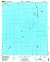
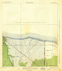
1998 Map of Bonnett Carre NE
USGS Topo · Published 2003About this map
Lake Pontchartrain dominates this aquatic landscape, where multiple parish boundaries meet in open water. The map records a complex administrative intersection involving St John the Baptist Parish, St Charles Parish, and Tangipahoa Parish. In the northwestern corner, a portion of the Manchac State Wildlife Management Area provides a terrestrial anchor for the quadrangle, illustrating the transition from swamp and wetlands into the expansive lake. Navigation is represented through a series of Light markers positioned across the water, delineating safe passage through these coastal reaches. Because much of the area consists of indefinite parish boundaries over open water, the sheet is an essential document for understanding the jurisdictional divisions of the Louisiana coast as they were defined at the close of the century.
Find a feature on this map
8 named features on this map. Tap any name to fly to it.
Don’t see what you’re looking for? This feature index may not catch every label — zoom into the map to look around manually.
Map Details
Editions of this 1998 Bonnett Carre NE Map
This is the sole edition of this map. No revisions or reprints were ever made.
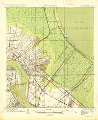
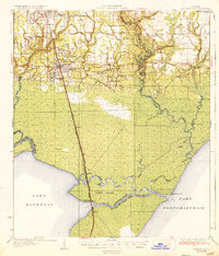
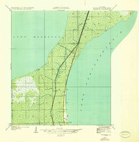
Other maps of this area

1891 · Spanish Fort
USGS Topo · 1:62,500

1892 · Bonnet Carre
USGS Topo · 1:62,500
1935 · Laplace
USGS Topo · 1:31,680

1935 · Covington
USGS Topo · 1:62,500
1935 · Ponchatoula
USGS Topo · 1:62,500
1936 · Ruddock
USGS Topo · 1:31,680

1936 · Bonnet Carre
USGS Topo · 1:62,500

1936 · Spanish Fort
USGS Topo · 1:62,500
1938 · La Branche
USGS Topo · 1:31,680
1938 · Indian Beach
USGS Topo · 1:31,680