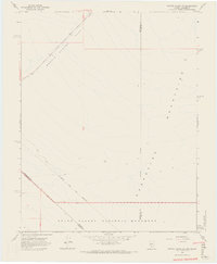
1968 Map of Bonnie Claire SW
USGS Topo · Published 1970About this map
The Von Schmidt Line (1873) (Indefinite) cuts a diagonal path across this arid landscape, marking an early attempt to define the boundary between Nevada and California. This high-desert terrain, mapped in the late 1960s, is dominated by the expanse of Bonnie Claire Flat and the rising slopes of the Grapevine Mountains. The map documents a sparsely developed area where travel is largely restricted to a single Jeep Trail winding through the alluvial fans. In the southern portion of the sheet, the boundary of Death Valley National Monument signifies the protected status of these remote desert basins. Small but vital water sources like the Seep are documented near the mountain foothills, providing a rare point of interest for those tracing the history of desert travel or early surveying efforts like the Von Schmidt Line.
Find a feature on this map
12 named features on this map. Tap any name to fly to it.
Don’t see what you’re looking for? This feature index may not catch every label — zoom into the map to look around manually.
Map Details
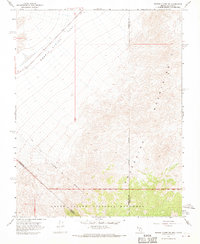
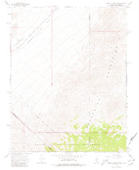
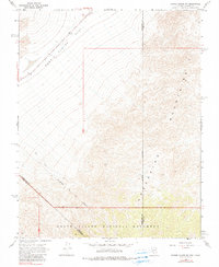
Editions of this 1968 Bonnie Claire SW Map
4 editions found
Other maps of this area

1908 · Lida
USGS Topo · 1:250,000

1908 · Ballarat
USGS Topo · 1:250,000

1913 · Lida
USGS Topo · 1:250,000

1913 · Ballarat
USGS Topo · 1:250,000

1948 · Death Valley
USGS Topo · 1:250,000

1954 · Death Valley
USGS Topo · 1:250,000

1954 · Goldfield
USGS Topo · 1:250,000

1955 · Goldfield
USGS Topo · 1:250,000

1956 · Death Valley
USGS Topo · 1:250,000

1957 · Death Valley
USGS Topo · 1:250,000