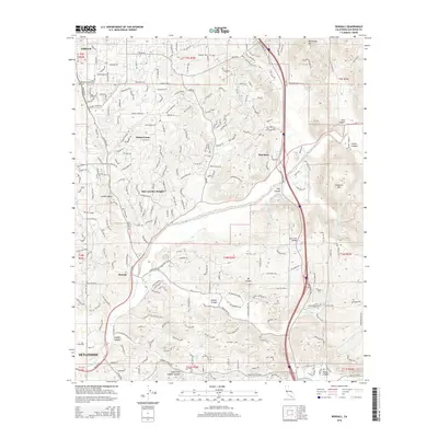
2015 Map of Bonsall
USGS Topo · Published 2015About this map
The San Luis Rey River winds through this coastal inland valley, anchoring a landscape defined by citrus groves, equestrian estates, and rugged peak topography. In this mid-2010s survey, the unincorporated community of Bonsall is shown at the intersection of a complex road network including Camino Del Rey and Camino Del Cielo, serving as a central hub for the surrounding residential enclaves. The map detail highlights the tension between preservation and development, where the industrial infrastructure of the Second San Diego Aqueduct and the Fallbrook Community Airpark exists alongside quiet settlements like Winterwarm and San Luis Rey Heights. The steep elevations of Monserate Mtn and Mt Ararat provide a stark backdrop to the sprawling modern neighborhood of Villa Toscana and the rural crossings at West Lilac Bridge.
Find a feature on this map
54 named features on this map. Tap any name to fly to it.
Don’t see what you’re looking for? This feature index may not catch every label — zoom into the map to look around manually.
Map Details
Editions of this 2015 Bonsall Map
This is the sole edition of this map. No revisions or reprints were ever made.
Other maps of this area

1893 · Oceanside
USGS Topo · 1:62,500

1893 · Escondido
USGS Topo · 1:62,500

1898 · Oceanside
USGS Topo · 1:62,500

1901 · Escondido
USGS Topo · 1:62,500

1901 · Oceanside
USGS Topo · 1:62,500

1901 · San Luis Rey
USGS Topo · 1:125,000

1904 · Southern California Sheet No. 2
USGS Topo · 1:250,000

1941 · Margarita Peak
USGS Topo · 1:62,500

1942 · Margarita Peak
USGS Topo · 1:62,500

1942 · Temecula
USGS Topo · 1:62,500