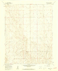
1960 Map of Boone Hill
USGS Topo · Published 1962About this map
Boone Hill stands as the primary landmark in this section of Pueblo County, rising above a landscape defined by the drainage patterns of the high plains. Surveyed in the late 1950s, the terrain shows a transition from the rolling uplands near the Wright VABM 4958 survey marker down toward the winding beds of Kramer Creek and Haynes Creek. The map documents a sparsely settled ranching or grazing environment, where section lines and unimproved tracks provide the primary evidence of human geography. Researchers can observe the natural watercourse development in this semi-arid region, tracing how seasonal flows have carved the topography around the central heights of the hill itself.
Find a feature on this map
7 named features on this map. Tap any name to fly to it.
Don’t see what you’re looking for? This feature index may not catch every label — zoom into the map to look around manually.
Map Details
Editions of this 1960 Boone Hill Map
2 editions found
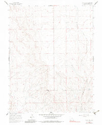
Other maps of this area

1891 · Nepesta
USGS Topo · 1:125,000

1893 · Nepesta
USGS Topo · 1:125,000

1904 · Nepesta
USGS Topo · 1:125,000

1954 · Pueblo
USGS Topo · 1:250,000

1957 · Pueblo
USGS Topo · 1:250,000

1958 · Pueblo
USGS Topo · 1:250,000

1959 · Highlands Church
USGS Topo · 1:24,000
1959 · Grandview School
USGS Topo · 1:24,000

1959 · North Avondale NE
USGS Topo · 1:24,000
1960 · Nepesta
USGS Topo · 1:24,000