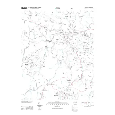
2013 Map of Boone
USGS Topo · Published 2013About this map
Howard Knob and Rich Mountain overlook the high-elevation basin where the S Fork New River begins its course. This 2013 survey documents the significant expansion of the High Country's mountain communities, from established centers like Blowing Rock and Perkinsville to newer residential developments such as Sorrento Skies and Grandview Heights. The map reflects a landscape defined by tourism and leisure, capturing the Boone Golf Course, the Daniel Boone Theater, and the recreational hub at Ski Mountain.
Find a feature on this map
112 named features on this map. Tap any name to fly to it.
Don’t see what you’re looking for? This feature index may not catch every label — zoom into the map to look around manually.
Map Details
Editions of this 2013 Boone Map
This is the sole edition of this map. No revisions or reprints were ever made.
Other maps of this area

1893 · Cranberry
USGS Topo · 1:125,000

1895 · Cranberry
USGS Topo · 1:125,000

1899 · Cranberry
USGS Topo · 1:125,000

1902 · Cranberry
USGS Topo · 1:125,000

1934 · Valle Crucis
USGS Topo · 1:24,000

1934 · Boone
USGS Topo · 1:24,000

1935 · Doe Mountain
USGS Topo · 1:48,000

1935 · Sherwood
USGS Topo · 1:24,000

1935 · Zionville
USGS Topo · 1:24,000

1936 · Blowing Rock
USGS Topo · 1:48,000