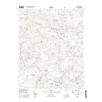
2016 Map of Boone
USGS Topo · Published 2016About this map
Boone and the high-elevation terrain of Watauga County are documented in this 2016 survey, showcasing a landscape defined by its educational and recreational landmarks. The expansive campus of Appalachian State Univ sits at the heart of the town, while the surrounding area is characterized by significant topographic features like the Tennessee Valley Divide and the Blue Ridge Parkway. The map details the transition from the concentrated development of Grandview Heights and Perkinsville to the protected woodlands of the Pisgah National Forest and the Appalachian Ski Mountain Lake area.
Find a feature on this map
309 named features on this map. Tap any name to fly to it.
Don’t see what you’re looking for? This feature index may not catch every label — zoom into the map to look around manually.
Map Details
Editions of this 2016 Boone Map
This is the sole edition of this map. No revisions or reprints were ever made.
Other maps of this area

1893 · Cranberry
USGS Topo · 1:125,000

1895 · Cranberry
USGS Topo · 1:125,000

1899 · Cranberry
USGS Topo · 1:125,000

1902 · Cranberry
USGS Topo · 1:125,000

1934 · Valle Crucis
USGS Topo · 1:24,000

1934 · Boone
USGS Topo · 1:24,000

1935 · Doe Mountain
USGS Topo · 1:48,000

1935 · Sherwood
USGS Topo · 1:24,000

1935 · Zionville
USGS Topo · 1:24,000

1936 · Blowing Rock
USGS Topo · 1:48,000