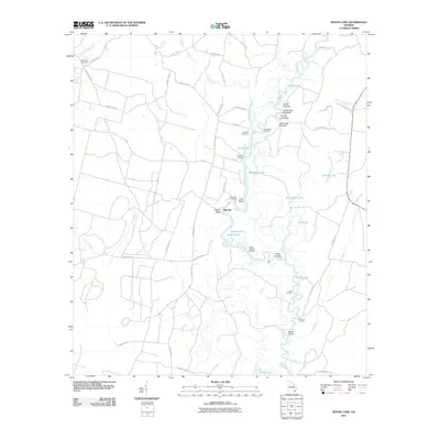
2011 Map of Boons Lake
USGS Topo · Published 2011About this map
The Satilla River meanders through this portion of Camden County, Georgia, defining a landscape of wetlands and river landings. This 2011 survey documents a river-oriented geography where the main channel is punctuated by numerous oxbow lakes such as Santee Lake, Half-Moon Lake, and Big Mineral Lake. The presence of several landings, including Gold Mine Landing, Dubberly Landing, and Slades Old Field Landing, indicates a long history of river access and small-scale commerce along the waterway.
Find a feature on this map
59 named features on this map. Tap any name to fly to it.
Don’t see what you’re looking for? This feature index may not catch every label — zoom into the map to look around manually.
Map Details
Editions of this 2011 Boons Lake Map
This is the sole edition of this map. No revisions or reprints were ever made.
Other maps of this area

1917 · Nahunta
USGS Topo · 1:62,500

1917 · Boulogne
USGS Topo · 1:62,500

1918 · Folkston
USGS Topo · 1:62,500

1918 · Nahunta
USGS Topo · 1:62,500

1919 · Boulogne
USGS Topo · 1:62,500

1946 · Brunswick
USGS Topo · 1:250,000

1948 · Jacksonville
USGS Topo · 1:250,000

1948 · Brunswick
USGS Topo · 1:250,000

1953 · Waycross
USGS Topo · 1:250,000

1954 · Valdosta
USGS Topo · 1:250,000