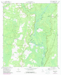
1978 Map of Boons Lake
USGS Topo · Published 1988About this map
The Satilla River carves a complex course through this corner of Southeast Georgia, defining a landscape of oxbow lakes, winding sloughs, and dense wetlands. Small rural communities are represented by quiet landmarks like Riverside Ch and Oak Grove Ch, alongside family-named resting places including Bethlehem Cem and Dowling Cem. The map illustrates the meeting point of Brantley, Camden, and Charlton counties, where the river's path is mirrored by a series of significant water bodies like Boons Lake, Big Mineral Lake, and Santee Lake.
Find a feature on this map
34 named features on this map. Tap any name to fly to it.
Don’t see what you’re looking for? This feature index may not catch every label — zoom into the map to look around manually.
Map Details
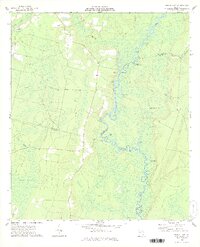
Editions of this 1978 Boons Lake Map
2 editions found
Other maps of this area

1917 · Nahunta
USGS Topo · 1:62,500

1917 · Boulogne
USGS Topo · 1:62,500

1918 · Folkston
USGS Topo · 1:62,500

1918 · Nahunta
USGS Topo · 1:62,500

1919 · Boulogne
USGS Topo · 1:62,500

1946 · Brunswick
USGS Topo · 1:250,000

1948 · Jacksonville
USGS Topo · 1:250,000

1948 · Brunswick
USGS Topo · 1:250,000

1953 · Waycross
USGS Topo · 1:250,000

1954 · Valdosta
USGS Topo · 1:250,000