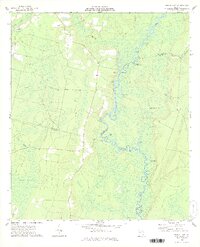
1978 Map of Boons Lake
USGS Topo · Published 1978About this map
The Satilla River meanders through a dense network of oxbows and backwaters in Southeast Georgia, forming the primary drainage for this part of the coastal plain. In the late 1970s, the landscape remained characterized by its expansive wetlands, including the broad Big Bay and Cross Swamp, which dominate the western half of the region. Local life was anchored by small riverside points like Big Oak and Lime Rock, as well as rural congregations at Riverside Ch and Oak Grove Ch. The intricate river system is punctuated by uniquely named water features such as Knox Suck, Upper Hog Pen, and Lower Hog Pen, which speak to the historic agricultural and timber-related use of the river's edges. This survey captures a moment before modern development altered these low-lying reaches, preserving the locations of family landmarks like Bethlehem Cem and Dowling Cem.
Find a feature on this map
34 named features on this map. Tap any name to fly to it.
Don’t see what you’re looking for? This feature index may not catch every label — zoom into the map to look around manually.
Map Details
Editions of this 1978 Boons Lake Map
2 editions found
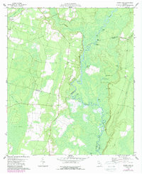
Other maps of this area

1917 · Nahunta
USGS Topo · 1:62,500

1917 · Boulogne
USGS Topo · 1:62,500

1918 · Folkston
USGS Topo · 1:62,500

1918 · Nahunta
USGS Topo · 1:62,500

1919 · Boulogne
USGS Topo · 1:62,500

1946 · Brunswick
USGS Topo · 1:250,000

1948 · Jacksonville
USGS Topo · 1:250,000

1948 · Brunswick
USGS Topo · 1:250,000

1953 · Waycross
USGS Topo · 1:250,000

1954 · Valdosta
USGS Topo · 1:250,000