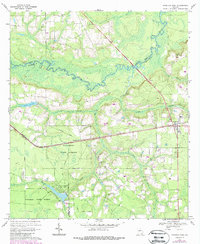
1967 Map of Hoboken West
USGS Topo · Published 1988About this map
Waycross State Forest dominates the southwestern quadrant of this 1967 survey, providing a look at the Georgia coastal plain's managed timber and recreation lands. The map details the Laura S Walker State Park area, where drainage from Mill Creek and Big Creek feeds into the winding course of the Satilla River. This river, marking the boundary between Pierce and Brantley Counties, serves as a primary geographical anchor for the rural settlements of Hoboken and Schlatterville.
Find a feature on this map
29 named features on this map. Tap any name to fly to it.
Don’t see what you’re looking for? This feature index may not catch every label — zoom into the map to look around manually.
Map Details
Editions of this 1967 Hoboken West Map
2 editions found
Other maps of this area

1953 · Waycross
USGS Topo · 1:250,000

1958 · Waycross
USGS Topo · 1:250,000
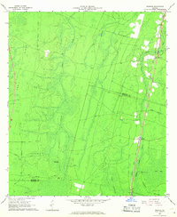
1966 · Winokur
USGS Topo · 1:24,000
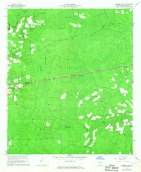
1966 · Hoboken East
USGS Topo · 1:24,000

1967 · Waycross SE
USGS Topo · 1:24,000
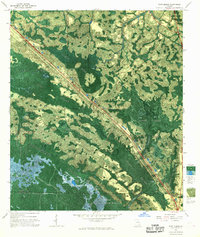
1967 · Fort Mudge
USGS Topo · 1:24,000

1967 · Hoboken West
USGS Topo · 1:24,000

1967 · Waycross East
USGS Topo · 1:24,000

1971 · Blackshear East
USGS Topo · 1:24,000

1971 · Blackshear West
USGS Topo · 1:24,000