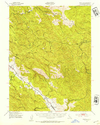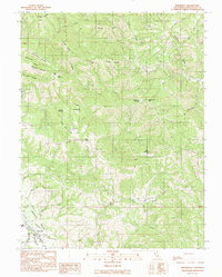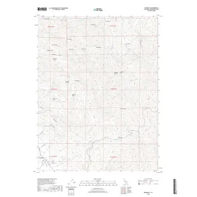
1959 Map of Boonville
USGS Topo · Published 1965About this map
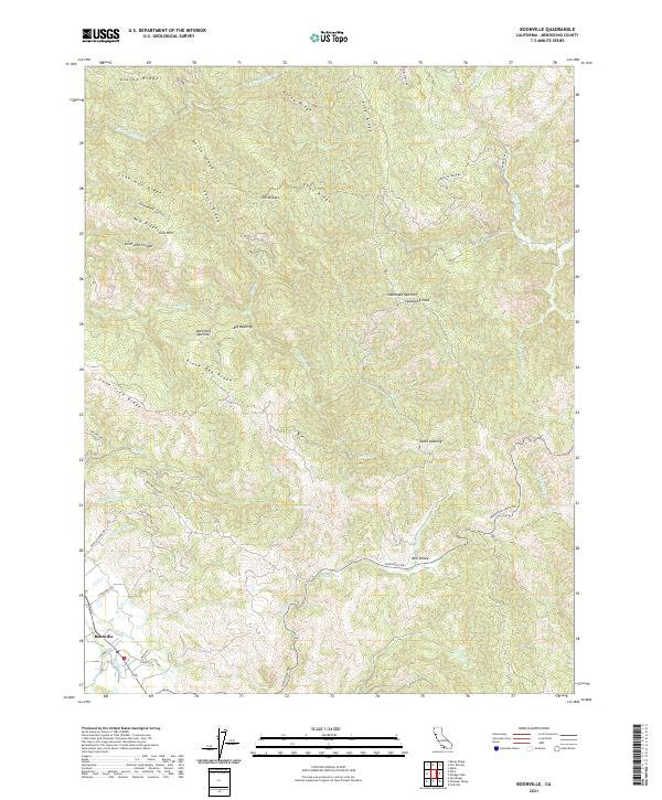
Anderson Valley serves as the structural heart of this mid-century survey, where the North Fork Navarro River and its numerous tributaries like Rose Creek and Mill Creek carve through the coastal range. The area is characterized by a mix of logging infrastructure and agricultural homesteads, evidenced by the Industrial Road networks and family-named landmarks such as the Old Wright Place and Mann Ranch. The settlement at Boonville is well-established, featuring the County Fairgrounds, while nearby Philo and the Philbrick Mill reflect the region's enduring timber and ranching economy.
Find a feature on this map
111 named features on this map. Tap any name to fly to it.
Don’t see what you’re looking for? This feature index may not catch every label — zoom into the map to look around manually.
Map Details
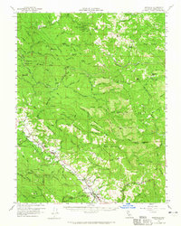
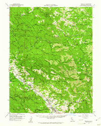
Editions of this 1959 Boonville Map
2 editions found
Historical Maps of Boonville Through Time
7 maps found