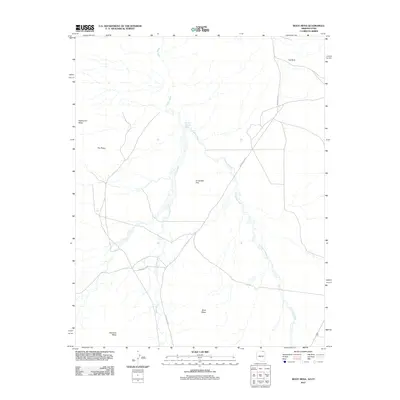
2011 Map of Boot Mesa
USGS Topo · Published 2011About this map
Oljato Wash and El Capitan Wash define the drainage patterns of this high desert landscape on the Arizona-Utah border. The terrain is characterized by massive formations such as Boot Mesa, Hoskinnini Mesa, and Azansosi Mesa, which rise sharply above the floor of El Capitan Flat. These landforms, along with distinctive points like Hat Rock and The Ramp, suggest the dramatic verticality of the region. Transportation across this expanse is facilitated by several tribal routes, including Indian Rte 42 and Indian Rte 6410. The map documents a sparsely populated area where natural geography dictates the path of travel and human presence, with Narrow Canyon Wash cutting through the northern reaches of the quadrangle.
Find a feature on this map
13 named features on this map. Tap any name to fly to it.
Don’t see what you’re looking for? This feature index may not catch every label — zoom into the map to look around manually.
Map Details
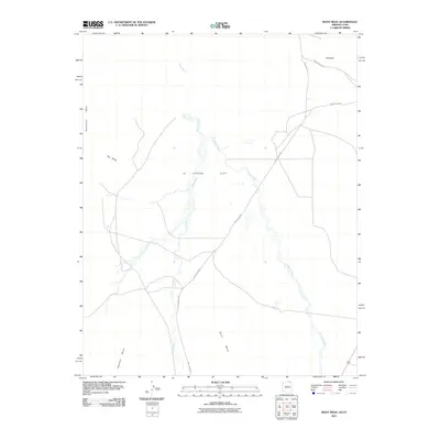
Editions of this 2011 Boot Mesa Map
2 editions found
Other maps of this area

1883 · Marsh Pass
USGS Topo · 1:250,000

1886 · Henry Mountains
USGS Topo · 1:250,000

1892 · Marsh Pass
USGS Topo · 1:250,000

1892 · Henry Mountains
USGS Topo · 1:250,000

1952 · Clay Hills 4 SW
USGS Topo · 1:24,000

1952 · Clay Hills 3 SE
USGS Topo · 1:24,000

1952 · Agathla Peak 1 NW
USGS Topo · 1:24,000

1952 · Agathla Peak 2 SW
USGS Topo · 1:24,000

1952 · Agathla Peak 2 NW
USGS Topo · 1:24,000

1952 · Boot Mesa
USGS Topo · 1:62,500