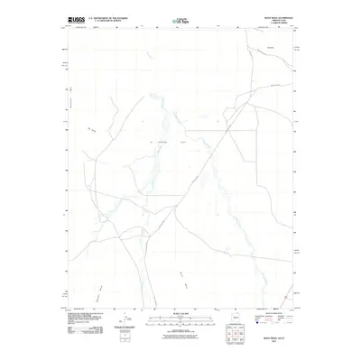
2011 Map of Boot Mesa
USGS Topo · Published 2011About this map
Hoskinnini Mesa and the expansive Boot Mesa define this high-desert landscape within the Navajo Nation near the Arizona-Utah border. The terrain is characterized by broad alluvial plains like El Capitan Flat and the intricate drainage patterns of the Oljeto Wash and El Capitan Wash. Transport across this arid region relies on a network of tribal routes, including Indian Rte 42 and Indian Rte 6420, which navigate the gaps between massive sandstone formations. Notable landmarks such as Hat Rock and the geologic incline known as The Ramp provide essential navigation points in a territory where water courses and mesa walls dictate the movement of both people and livestock. This 2011 survey documents the contemporary path of these roads through traditional lands, including the area near Azansosi Mesa.
Find a feature on this map
13 named features on this map. Tap any name to fly to it.
Don’t see what you’re looking for? This feature index may not catch every label — zoom into the map to look around manually.
Map Details
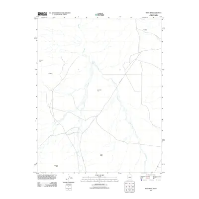
Editions of this 2011 Boot Mesa Map
2 editions found
Other maps of this area

1883 · Marsh Pass
USGS Topo · 1:250,000

1886 · Henry Mountains
USGS Topo · 1:250,000

1892 · Marsh Pass
USGS Topo · 1:250,000

1892 · Henry Mountains
USGS Topo · 1:250,000

1952 · Clay Hills 4 SW
USGS Topo · 1:24,000

1952 · Clay Hills 3 SE
USGS Topo · 1:24,000

1952 · Agathla Peak 1 NW
USGS Topo · 1:24,000

1952 · Agathla Peak 2 SW
USGS Topo · 1:24,000

1952 · Agathla Peak 2 NW
USGS Topo · 1:24,000

1952 · Boot Mesa
USGS Topo · 1:62,500