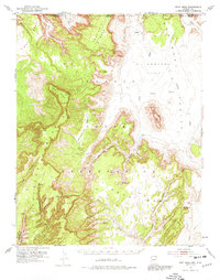
1952 Map of Boot Mesa
USGS Topo · Published 1974About this map
Navajo Indian Reservation land dominates this high-plateau landscape along the Arizona-Utah border, defined by the erosion of the Colorado Plateau into a series of massive mesas and deep canyons. The southern reach of Monument Valley appears in the east, characterized by landmarks like Boot Mesa and Half Dome. The geography transitions from the broad expanses of El Capitan Flat into the deeply incised drainage systems of Keet Seel Canyon and Dowozhiebito Canyon in the west.
Find a feature on this map
37 named features on this map. Tap any name to fly to it.
Don’t see what you’re looking for? This feature index may not catch every label — zoom into the map to look around manually.
Map Details
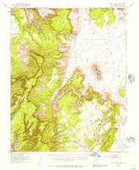
Editions of this 1952 Boot Mesa Map
3 editions found

Other maps of this area

1883 · Marsh Pass
USGS Topo · 1:250,000

1886 · Henry Mountains
USGS Topo · 1:250,000

1892 · Marsh Pass
USGS Topo · 1:250,000

1892 · Henry Mountains
USGS Topo · 1:250,000

1952 · Clay Hills 4 SW
USGS Topo · 1:24,000

1952 · Clay Hills 3 SE
USGS Topo · 1:24,000

1952 · Shato Spring 1 NE
USGS Topo · 1:24,000

1952 · Agathla Peak 1 NW
USGS Topo · 1:24,000

1952 · Agathla Peak 2 SW
USGS Topo · 1:24,000

1952 · Agathla Peak 2 NW
USGS Topo · 1:24,000