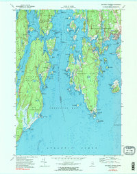
1970 Map of Boothbay Harbor
USGS Topo · Published 1974About this map
Boothbay Harbor serves as the focal point of this coastal survey, where the intricate maritime landscape of Lincoln and Sagadahoc Counties meets the Atlantic Ocean. The map reveals a complex network of islands and passages, such as Goose Rock Passage and Townsend Gut, which define the region's seafaring character. On the western side of the sheet, Reid State Park preserves a significant stretch of shoreline near the mouth of the Little River, contrasting with the more developed summer colonies and year-round settlements like Southport and Newagen.
Find a feature on this map
115 named features on this map. Tap any name to fly to it.
Don’t see what you’re looking for? This feature index may not catch every label — zoom into the map to look around manually.
Map Details
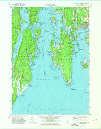
Editions of this 1970 Boothbay Harbor Map
2 editions found
Other maps of this area

1893 · Small Point
USGS Topo · 1:62,500

1893 · Boothbay
USGS Topo · 1:62,500

1894 · Bath
USGS Topo · 1:62,500

1919 · Small Point
USGS Topo · 1:62,500

1920 · Bath
USGS Topo · 1:62,500

1941 · Boothbay
USGS Topo · 1:62,500

1943 · Boothbay
USGS Topo · 1:62,500

1944 · Boothbay
USGS Topo · 1:62,500

1944 · Small Point
USGS Topo · 1:62,500

1945 · Bath
USGS Topo · 1:62,500