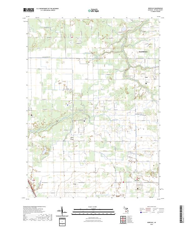
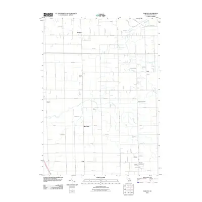
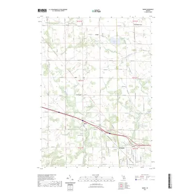
2023 Map of Borculo
USGS Topo · Published 2023About this map
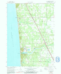
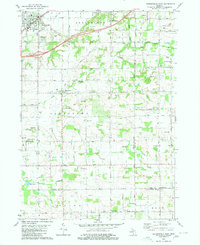
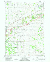
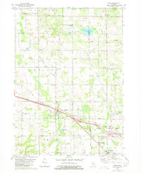
Olive Center and the village of Borculo anchor this section of Ottawa County, where agricultural patterns are defined by a network of drainage systems. The landscape is shaped by the winding courses of the Pigeon River and Bass River, alongside man-made improvements like the Walters Drain and Ovens and Sawyer Drain. These waterways historically managed the wetlands to support the surrounding farmsteads and small communities.
Find a feature on this map
51 named features on this map. Tap any name to fly to it.
Don’t see what you’re looking for? This feature index may not catch every label — zoom into the map to look around manually.
Map Details
Editions of this 2023 Borculo Map
This is the sole edition of this map. No revisions or reprints were ever made.
Historical Maps of Olive Township Through Time
42 maps found
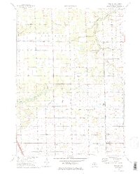
1972 Borculo
Ottawa County, MI
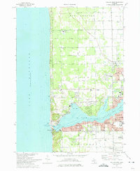
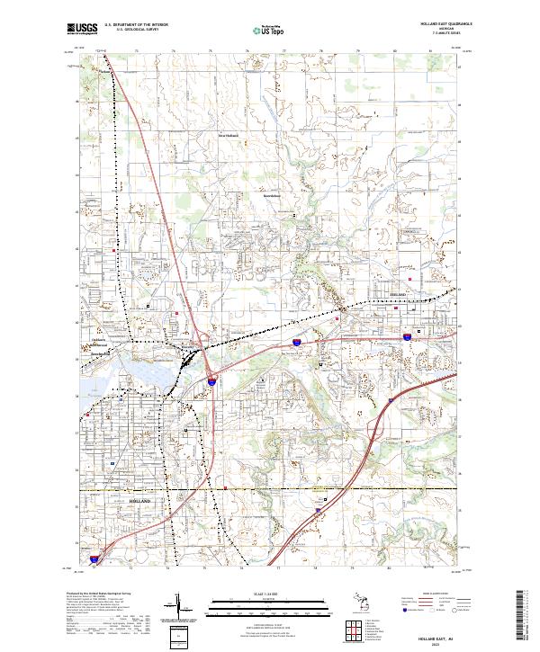
1972 Holland East
Ottawa County, MI
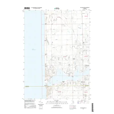
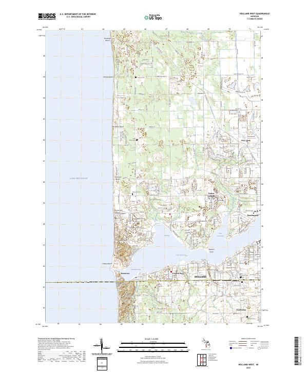
1972 Holland West
Ottawa County, MI
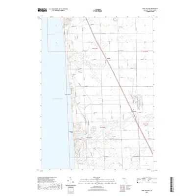
1972 Port Sheldon
Ottawa County, MI
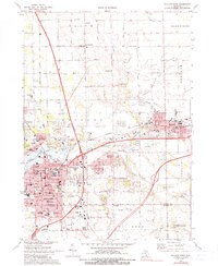
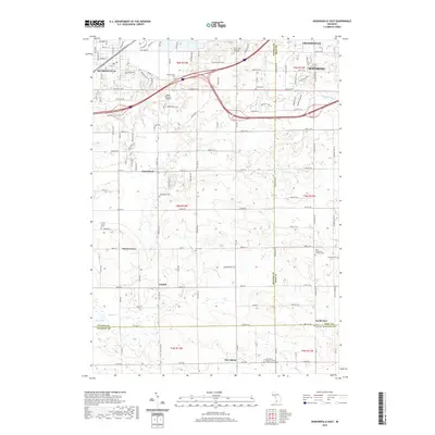
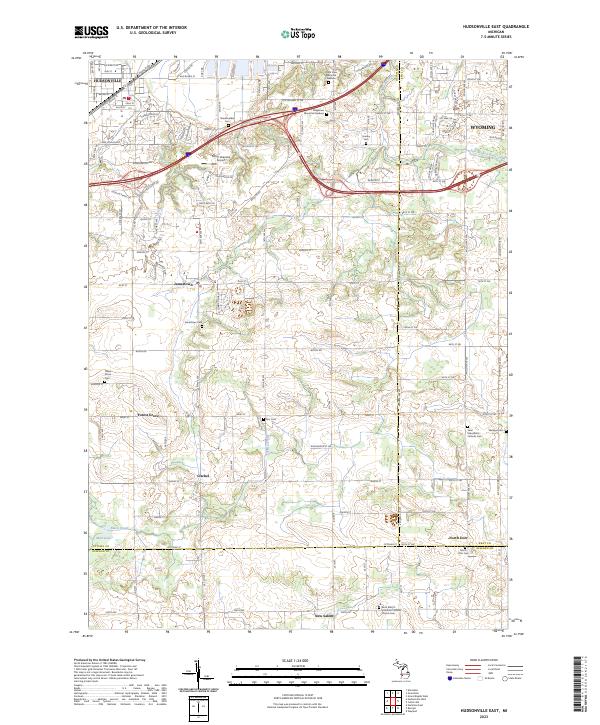
1980 Hudsonville East
Ottawa County, MI
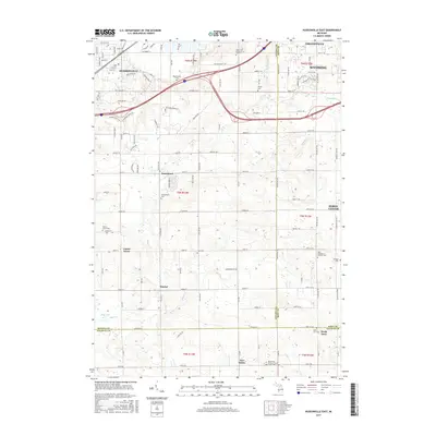
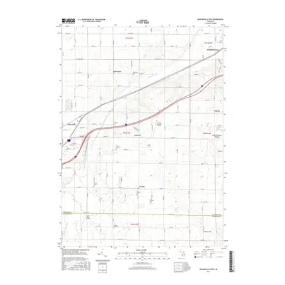
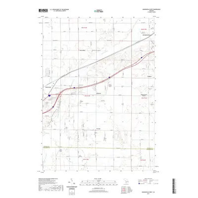
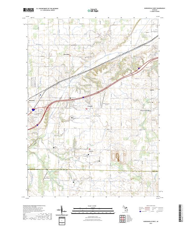
1980 Hudsonville West
Ottawa County, MI
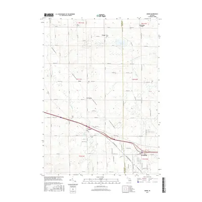
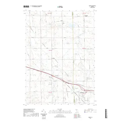
1980 Marne
Ottawa County, MI
2011 Borculo
Ottawa County, MI
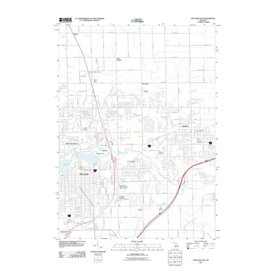
2011 Holland East
Ottawa County, MI
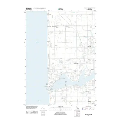
2011 Holland West
Ottawa County, MI
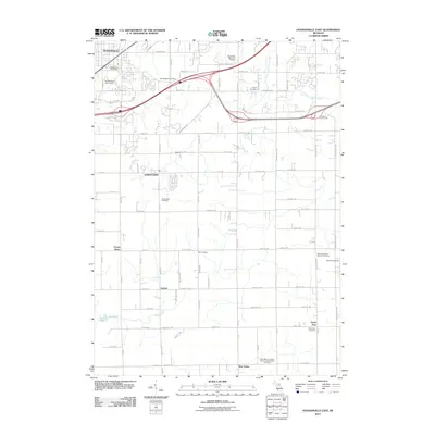
2011 Hudsonville East
Ottawa County, MI
2011 Hudsonville West
Ottawa County, MI
2011 Marne
Ottawa County, MI
2011 Port Sheldon
Ottawa County, MI
2014 Borculo
Ottawa County, MI
2014 Holland East
Ottawa County, MI
2014 Holland West
Ottawa County, MI
2014 Hudsonville East
Ottawa County, MI
2014 Hudsonville West
Ottawa County, MI
2014 Marne
Ottawa County, MI
2014 Port Sheldon
Ottawa County, MI
2017 Borculo
Ottawa County, MI
2017 Holland East
Ottawa County, MI
2017 Holland West
Ottawa County, MI
2017 Hudsonville East
Ottawa County, MI
2017 Hudsonville West
Ottawa County, MI
2017 Marne
Ottawa County, MI
2017 Port Sheldon
Ottawa County, MI
2019 Borculo
Ottawa County, MI
2019 Holland East
Ottawa County, MI
2019 Holland West
Ottawa County, MI
2019 Hudsonville East
Ottawa County, MI
2019 Hudsonville West
Ottawa County, MI
2019 Marne
Ottawa County, MI
2019 Port Sheldon
Ottawa County, MI
2023 Borculo
Ottawa County, MI
2023 Holland East
Ottawa County, MI
2023 Holland West
Ottawa County, MI
2023 Hudsonville East
Ottawa County, MI
2023 Hudsonville West
Ottawa County, MI
2023 Marne
Ottawa County, MI
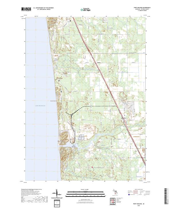
2023 Port Sheldon
Ottawa County, MI
Featured Locations
- Olive Township, MI
- Allendale Charter Township, MI
- Blendon Township, MI
- Borculo, Olive Township
- Ottawa Station, Olive Township