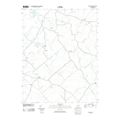
2010 Map of Bordley
USGS Topo · Published 2010About this map
Persimmon Ridge and Yuba Ridge form the elevated backbone of this rural landscape in the early 2000s, where small settlements like Bordley and Yuba sit along an intricate network of country roads. Local family names define the land’s landmarks, visible in the numerous cemeteries such as Holeman Cemetery, Richards Cemetery, and Harmon Cemetery.
Find a feature on this map
54 named features on this map. Tap any name to fly to it.
Don’t see what you’re looking for? This feature index may not catch every label — zoom into the map to look around manually.
Map Details
Editions of this 2010 Bordley Map
This is the sole edition of this map. No revisions or reprints were ever made.
Other maps of this area

1906 · Sebree
USGS Topo · 1:62,500

1907 · Earlington
USGS Topo · 1:48,000

1907 · Morganfield
USGS Topo · 1:62,500

1909 · Earlington
USGS Topo · 1:62,500

1909 · Providence
USGS Topo · 1:62,500

1949 · Morganfield
USGS Topo · 1:24,000

1949 · Poole
USGS Topo · 1:24,000

1951 · Dixon
USGS Topo · 1:24,000

1951 · Poole
USGS Topo · 1:24,000

1951 · Waverly
USGS Topo · 1:24,000