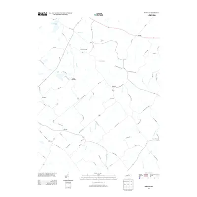
2013 Map of Bordley
USGS Topo · Published 2013About this map
Bordley and the surrounding Webster County farm country appear here as they were structured in the early twenty-first century, defined by a network of rural settlements and named ridges. The landscape is marked by prominent elevations like Persimmon Ridge, Springer Hill, and Yuba Ridge, which dictate the winding paths of roads like Airline-Bordley Rd. This area reflects a quiet agricultural continuity, where small communities such as Shelton, Yuba, and Hearin are linked by a complex web of family-named routes.
Find a feature on this map
73 named features on this map. Tap any name to fly to it.
Don’t see what you’re looking for? This feature index may not catch every label — zoom into the map to look around manually.
Map Details
Editions of this 2013 Bordley Map
This is the sole edition of this map. No revisions or reprints were ever made.
Other maps of this area

1906 · Sebree
USGS Topo · 1:62,500

1907 · Earlington
USGS Topo · 1:48,000

1907 · Morganfield
USGS Topo · 1:62,500

1909 · Earlington
USGS Topo · 1:62,500

1909 · Providence
USGS Topo · 1:62,500

1949 · Morganfield
USGS Topo · 1:24,000

1949 · Poole
USGS Topo · 1:24,000

1951 · Dixon
USGS Topo · 1:24,000

1951 · Poole
USGS Topo · 1:24,000

1951 · Waverly
USGS Topo · 1:24,000