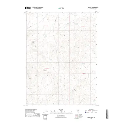
2018 Map of Bordwell Spring
USGS Topo · Published 2018About this map
Bordwell Spring and its surrounding drainage basin define the topography of this high-desert landscape in northwestern Nevada. The map documents a critical network of water sources essential for life in the Great Basin, including Twin Spring Reservoir, Rim-Rock Spring, and the distant Big Antelope Springs. Elevation changes are marked by distinct landforms such as Cherry Mtn and the Lost Creek Hills, with seasonal watercourses like Bordwell Cr and Compoodie Cr carving through deep ravines like Bordwell Canyon and Well Canyon. Man-made infrastructure is limited to the utility-focused Power Line Svc Rd and primitive routes like Wall Canyon Reservoir Rd, illustrating the remote nature of this region. The layout of Township and Range boundaries reflects the foundational Public Land Survey System that governs this expansive territory.
Find a feature on this map
22 named features on this map. Tap any name to fly to it.
Don’t see what you’re looking for? This feature index may not catch every label — zoom into the map to look around manually.
Map Details
Editions of this 2018 Bordwell Spring Map
This is the sole edition of this map. No revisions or reprints were ever made.
Other maps of this area

1889 · Long Valley
USGS Topo · 1:250,000

1954 · Vya
USGS Topo · 1:250,000

1958 · Vya
USGS Topo · 1:250,000

1962 · Vya
USGS Topo · 1:250,000

1978 · Hart Mountain
USGS Topo · 1:24,000
1979 · Wall Canyon Reservoir
USGS Topo · 1:24,000
1979 · Boulder Mtn.
USGS Topo · 1:24,000
1979 · Pinto Springs
USGS Topo · 1:24,000
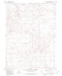
1979 · Chester Lyons Spring
USGS Topo · 1:24,000
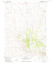
1980 · Fox Mountain
USGS Topo · 1:24,000