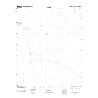
2012 Map of Borrego Mountain SE
USGS Topo · Published 2012About this map
Lower Borrego Valley is defined by its arid drainage networks and distinctive desert landforms in this 2012 topographic record. The landscape is dominated by the sprawling braided systems of Fish Cr Wash and Alma Wash, which carve through the basin floor towards the northern reaches of the Ocotillo Badlands. Human presence is minimal, marked primarily by the path of Split Mountain Rd as it tracks through the open terrain toward the namesake Split Mountain at the southern edge of the quadrangle.
Find a feature on this map
8 named features on this map. Tap any name to fly to it.
Don’t see what you’re looking for? This feature index may not catch every label — zoom into the map to look around manually.
Map Details
Editions of this 2012 Borrego Mountain SE Map
This is the sole edition of this map. No revisions or reprints were ever made.
Other maps of this area
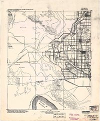
1915 · El Centro
USGS Topo · 1:125,000
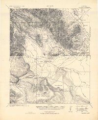
1931 · Vallecito
USGS Topo · 1:125,000
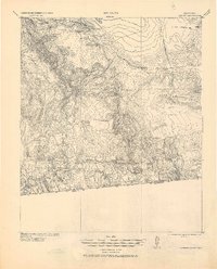
1931 · Carrizo
USGS Topo · 1:125,000
1940 · Kane Spring
USGS Topo · 1:62,500
1940 · Plaster City
USGS Topo · 1:62,500
1942 · Barrel Spring
USGS Topo · 1:62,500
1942 · El Centro
USGS Topo · 1:250,000
1942 · Carrizo Mtn
USGS Topo · 1:62,500
1943 · Vallecito
USGS Topo · 1:125,000
1944 · Plaster City
USGS Topo · 1:62,500