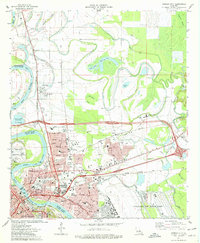
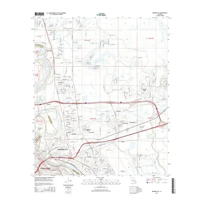
1955 Map of Bossier City
USGS Topo · Published 1956About this map
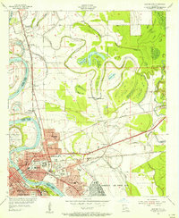
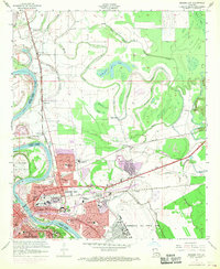
Bossier City and eastern Shreveport dominate this mid-1950s landscape, illustrating the rapid mid-century growth of the Red River valley. The urban grid is heavily influenced by a dense network of transportation corridors, including the Illinois Central RR, St Louis Southwestern RR, and the Kansas City Southern RR. While the riverfront is marked by industry and infrastructure like the Downtown Airport and gravel pits, the surrounding alluvial plains reveal a complex system of waterways such as Willow Chute and Flat River.
Find a feature on this map
68 named features on this map. Tap any name to fly to it.
Don’t see what you’re looking for? This feature index may not catch every label — zoom into the map to look around manually.
Map Details
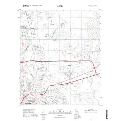
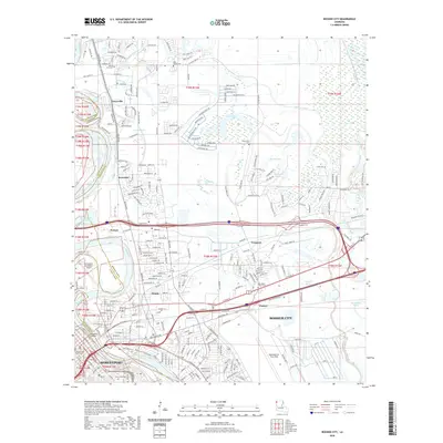
Editions of this 1955 Bossier City Map
This is the sole edition of this map. No revisions or reprints were ever made.
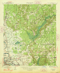
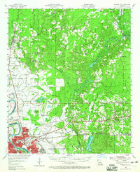
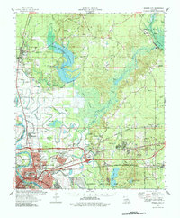
Historical Maps of Shreveport Through Time
12 maps found
1948 Bossier City
Bossier Parish, LA
1955 Bossier City
Bossier Parish, LA
1955 Bossier City
Bossier Parish, LA
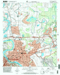
1960 Bossier City
Bossier Parish, LA
1975 Bossier City
Bossier Parish, LA
1978 Bossier City
Bossier Parish, LA
1998 Bossier City
Bossier Parish, LA
2012 Bossier City
Bossier Parish, LA
2015 Bossier City
Bossier Parish, LA
2018 Bossier City
Bossier Parish, LA
2020 Bossier City
Bossier Parish, LA
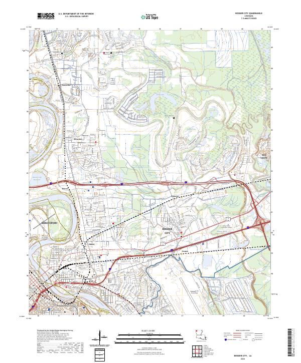
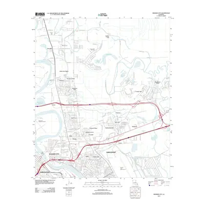
2024 Bossier City
Bossier Parish, LA