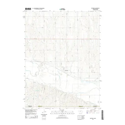
2014 Map of Bostwick
USGS Topo · Published 2014About this map
Bostwick sits at the heart of this agricultural landscape in southern Nebraska, positioned just north of the Republican River. The settlement is defined by its relationship to a complex water management system, including the Superior Canal and the Courtland Canal, which carve through the river valley to support the local farming economy. These irrigation features are accompanied by several storage sites, such as the Johnston and Thompson Reservoir and Gibson Reservoir.
Find a feature on this map
34 named features on this map. Tap any name to fly to it.
Don’t see what you’re looking for? This feature index may not catch every label — zoom into the map to look around manually.
Map Details
Editions of this 2014 Bostwick Map
This is the sole edition of this map. No revisions or reprints were ever made.
Other maps of this area

1894 · Mankato
USGS Topo · 1:125,000

1898 · Superior
USGS Topo · 1:125,000

1955 · Grand Island
USGS Topo · 1:250,000

1955 · Beloit
USGS Topo · 1:250,000

1957 · Grand Island
USGS Topo · 1:250,000

1958 · Grand Island
USGS Topo · 1:250,000

1959 · Beloit
USGS Topo · 1:250,000
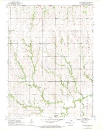
1969 · North Branch
USGS Topo · 1:24,000
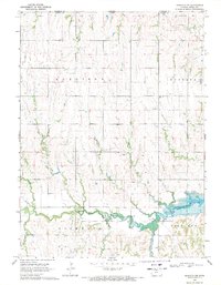
1969 · Mankato NW
USGS Topo · 1:24,000
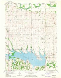
1969 · Webber
USGS Topo · 1:24,000