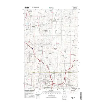
2014 Map of Bothell
USGS Topo · Published 2014About this map
North Creek and the Sammamish River anchor this detailed study of the suburban corridor between Snohomish and King Counties. The landscape is defined by its transition from industrial hubs like Maltby and the Woodinville valley to residential expansions such as Silver Firs and Mill Creek. Higher education and regional infrastructure are prominent features, evidenced by the Univ of Washington-Bothell Campus and Cascadia Community Coll located near the North Creek Interchange.
Find a feature on this map
70 named features on this map. Tap any name to fly to it.
Don’t see what you’re looking for? This feature index may not catch every label — zoom into the map to look around manually.
Map Details
Editions of this 2014 Bothell Map
This is the sole edition of this map. No revisions or reprints were ever made.
Other maps of this area

1894 · Seattle
USGS Topo · 1:62,500

1895 · Snohomish
USGS Topo · 1:125,000

1897 · Seattle
USGS Topo · 1:125,000

1908 · Seattle
USGS Topo · 1:62,500

1909 · Seattle Special
USGS Topo · 1:62,500

1942 · Edmonds
USGS Topo · 1:62,500

1944 · Everett
USGS Topo · 1:62,500

1949 · Seattle North
USGS Topo · 1:24,000

1950 · Redmond
USGS Topo · 1:24,000

1950 · Kirkland
USGS Topo · 1:24,000