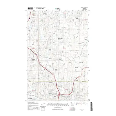
2017 Map of Bothell
USGS Topo · Published 2017About this map
The Sammamish River flows through the southern reaches of this landscape, anchoring a corridor of rapid suburban development and higher education at the University of Washington - Bothell Campus. The map documents the dense residential infrastructure of Bothell and Woodinville as they appeared in the late 2010s, showing a complex network of neighborhoods like Mill Creek, Silver Firs, and Martha Lake.
Find a feature on this map
46 named features on this map. Tap any name to fly to it.
Don’t see what you’re looking for? This feature index may not catch every label — zoom into the map to look around manually.
Map Details
Editions of this 2017 Bothell Map
This is the sole edition of this map. No revisions or reprints were ever made.
Other maps of this area

1894 · Seattle
USGS Topo · 1:62,500

1895 · Snohomish
USGS Topo · 1:125,000

1897 · Seattle
USGS Topo · 1:125,000

1908 · Seattle
USGS Topo · 1:62,500

1909 · Seattle Special
USGS Topo · 1:62,500

1942 · Edmonds
USGS Topo · 1:62,500

1944 · Everett
USGS Topo · 1:62,500

1949 · Seattle North
USGS Topo · 1:24,000

1950 · Redmond
USGS Topo · 1:24,000

1950 · Kirkland
USGS Topo · 1:24,000