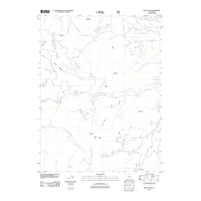
2011 Map of Bottle Pass
USGS Topo · Published 2011About this map
Bottle Pass and the surrounding high-altitude drainage systems of the Fraser Valley define this high-country landscape. The 2011 survey documents a network of mountain roads and water management features, including the Big Six Ditch and the Sinkovits and Linke Dam on the upper reaches of West Fork Ninemile Creek. These systems underscore the historical and ongoing importance of water rights and diversion in Grand County.
Find a feature on this map
61 named features on this map. Tap any name to fly to it.
Don’t see what you’re looking for? This feature index may not catch every label — zoom into the map to look around manually.
Map Details
Editions of this 2011 Bottle Pass Map
This is the sole edition of this map. No revisions or reprints were ever made.
Other maps of this area

1915 · Longs Peak
USGS Topo · 1:125,000

1919 · Rocky Mountain National Park
USGS Topo · 1:125,000

1924 · Fraser
USGS Topo · 1:62,500

1926 · Fraser
USGS Topo · 1:62,500

1933 · Ute Peak
USGS Topo · 1:62,500

1937 · Ute Peak
USGS Topo · 1:62,500

1953 · Denver
USGS Topo · 1:250,000

1954 · Greeley
USGS Topo · 1:250,000

1954 · Craig
USGS Topo · 1:250,000

1957 · Denver
USGS Topo · 1:250,000