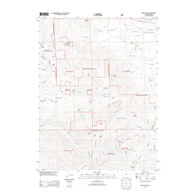
2013 Map of Bottle Pass
USGS Topo · Published 2013About this map
The high-altitude terrain of the Arapaho National Forest dominates this topographic study, anchored by the namesake Bottle Pass and neighboring Bottle Peak. The landscape is a network of drainage basins including Tipperary Creek, Crooked Creek, and Keyser Creek, showing the complex hydrology of the Continental Divide's western slopes. A distinct human imprint is visible through the engineering of the Big Six Ditch and Big Six Ditch Creekside Trail, alongside the Eastlake Reservoir Number 2. Recreational and travel routes are well-defined, from the Byers Creek Campground to historic passage points like Church Park. High peaks such as Ptarmigan Peak and Ninemile Mountain define the skyline, while specialized trails like the Lake Evelyn Trail and St Louis Divide Trail provide access to remote alpine basins.
Find a feature on this map
85 named features on this map. Tap any name to fly to it.
Don’t see what you’re looking for? This feature index may not catch every label — zoom into the map to look around manually.
Map Details
Editions of this 2013 Bottle Pass Map
This is the sole edition of this map. No revisions or reprints were ever made.
Other maps of this area

1915 · Longs Peak
USGS Topo · 1:125,000

1919 · Rocky Mountain National Park
USGS Topo · 1:125,000

1924 · Fraser
USGS Topo · 1:62,500

1926 · Fraser
USGS Topo · 1:62,500

1933 · Ute Peak
USGS Topo · 1:62,500

1937 · Ute Peak
USGS Topo · 1:62,500

1953 · Denver
USGS Topo · 1:250,000

1954 · Greeley
USGS Topo · 1:250,000

1954 · Craig
USGS Topo · 1:250,000

1957 · Denver
USGS Topo · 1:250,000