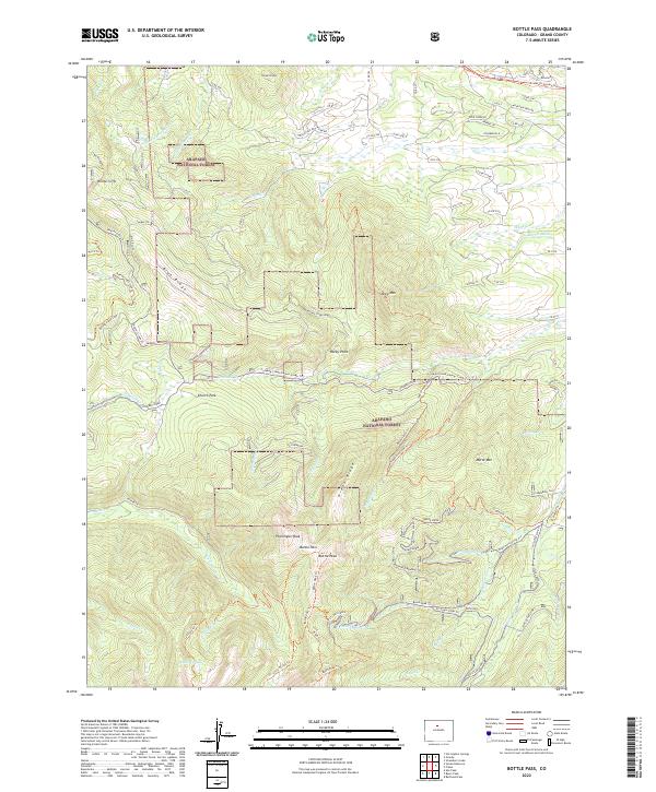
2022 Map of Bottle Pass
USGS Topo · Published 2022About this map
Arapaho National Forest dominates this section of Grand County, where the Continental Divide's high-altitude drainages form a complex network of creeks. Significant peaks like Ptarmigan Peak and Bottle Peak define the southern skyline, joined by the high crossing at Bottle Pass. The landscape transitions from the high alpine summits down through Green Ridge to the lower meadows of Church Park, where the Church Park Cg offers a central point for mountain travel.
Find a feature on this map
91 named features on this map. Tap any name to fly to it.
Don’t see what you’re looking for? This feature index may not catch every label — zoom into the map to look around manually.
Map Details
Editions of this 2022 Bottle Pass Map
This is the sole edition of this map. No revisions or reprints were ever made.
Other maps of this area

1915 · Longs Peak
USGS Topo · 1:125,000

1919 · Rocky Mountain National Park
USGS Topo · 1:125,000

1924 · Fraser
USGS Topo · 1:62,500

1926 · Fraser
USGS Topo · 1:62,500

1933 · Ute Peak
USGS Topo · 1:62,500

1937 · Ute Peak
USGS Topo · 1:62,500

1953 · Denver
USGS Topo · 1:250,000

1954 · Greeley
USGS Topo · 1:250,000

1954 · Craig
USGS Topo · 1:250,000

1957 · Denver
USGS Topo · 1:250,000