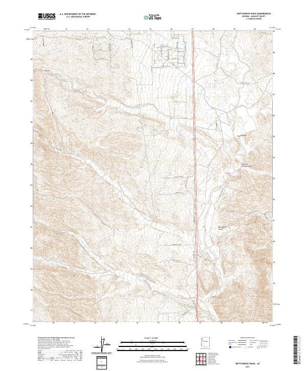
2021 Map of Bottleneck Wash
USGS Topo · Published 2021About this map
Bottleneck Wash serves as the primary drainage through this arid corridor of northwestern Arizona, where a complex network of seasonal washes defines the landscape. The convergence of Kabba Wash and Wheeler Wash illustrates the hydrological patterns that have shaped the local terrain, carved out features like Dripping Springs Canyon and the secluded Round Valley. This environment is marked by significant topographic features such as Rock Ridge and the winding Raw Water Canyon.
Find a feature on this map
47 named features on this map. Tap any name to fly to it.
Don’t see what you’re looking for? This feature index may not catch every label — zoom into the map to look around manually.
Map Details
Editions of this 2021 Bottleneck Wash Map
This is the sole edition of this map. No revisions or reprints were ever made.
Other maps of this area

1886 · Diamond Creek
USGS Topo · 1:250,000

1892 · Diamond Creek
USGS Topo · 1:250,000

1923 · Signal
USGS Topo · 1:250,000

1942 · Signal
USGS Topo · 1:250,000

1948 · Williams
USGS Topo · 1:250,000

1950 · Prescott
USGS Topo · 1:250,000

1954 · Prescott
USGS Topo · 1:250,000

1954 · Williams
USGS Topo · 1:250,000

1956 · Williams
USGS Topo · 1:250,000

1958 · Prescott
USGS Topo · 1:250,000