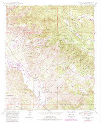
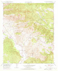
1948 Map of Boucher Hill
USGS Topo · Published 1988About this map
Boucher Hill rises above a landscape defined by several tribal territories, including the Pala Indian Reservation, Pauma Indian Res, and La Jolla Indian Reservation. The 1948 survey reveals a specialized mid-century economy where ranching at Webber Ranch and recreation at the Pauma Valley Country Club exist alongside rugged extraction and utility infrastructure. A series of small-scale mining operations, such as Mack Mine and Victor Mine, are tucked into the canyons, while the Escondido Canal and a Powerhouse near the San Luis Rey River indicate the importance of water management in this arid terrain.
Find a feature on this map
64 named features on this map. Tap any name to fly to it.
Don’t see what you’re looking for? This feature index may not catch every label — zoom into the map to look around manually.
Map Details
Editions of this 1948 Boucher Hill Map
7 editions found
Other maps of this area

1893 · Escondido
USGS Topo · 1:62,500

1901 · Escondido
USGS Topo · 1:62,500

1901 · San Luis Rey
USGS Topo · 1:125,000

1903 · Ramona
USGS Topo · 1:125,000

1904 · Southern California Sheet No. 2
USGS Topo · 1:250,000

1939 · Palomar Mountain
USGS Topo · 1:62,500

1942 · Temecula
USGS Topo · 1:62,500

1942 · Escondido
USGS Topo · 1:62,500

1942 · Ramona
USGS Topo · 1:62,500

1947 · Ramona
USGS Topo · 1:62,500