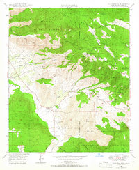
1948 Map of Boucher Hill
USGS Topo · Published 1966About this map
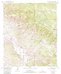
Palomar Mountain State Park and several tribal lands dominate this mid-century landscape in northern San Diego County. The high-altitude terrain, marked by Boucher Hill and Palomar Mountain, is bisected by the San Bernardino Meridian and bounded by the Cleveland National Forest. In the lower valleys, the San Luis Rey River and Escondido Canal provide vital water resources for settlements like Rincon and the Pauma Indian Res.
Find a feature on this map
55 named features on this map. Tap any name to fly to it.
Don’t see what you’re looking for? This feature index may not catch every label — zoom into the map to look around manually.
Map Details
Editions of this 1948 Boucher Hill Map
7 editions found

Other maps of this area

1893 · Escondido
USGS Topo · 1:62,500

1901 · Escondido
USGS Topo · 1:62,500

1901 · San Luis Rey
USGS Topo · 1:125,000

1903 · Ramona
USGS Topo · 1:125,000

1904 · Southern California Sheet No. 2
USGS Topo · 1:250,000

1939 · Palomar Mountain
USGS Topo · 1:62,500

1942 · Temecula
USGS Topo · 1:62,500

1942 · Escondido
USGS Topo · 1:62,500

1942 · Ramona
USGS Topo · 1:62,500

1947 · Ramona
USGS Topo · 1:62,500