2022 Map of Boulder
USGS Topo · Published 2022About this map
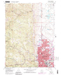
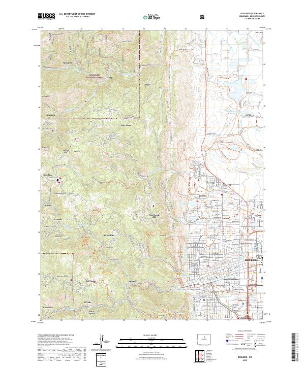
The transition from the High Plains to the Front Range is captured here at the point where the city grid of Boulder meets the steep eastern slopes of the Rockies. To the west, the landscape is defined by deep gulches and scattered residential settlements like Pine Brook Hill, Seven Hills, and Springdale. These mountain communities are connected by a network of canyon roads following watercourses such as Fourmile Canyon Cr and Boulder Canyon Cr. In the heart of the city, the campus of the University of Colorado Boulder and landmarks like the Boulder County Justice Center anchor the urban landscape. North of the city, the land remains largely open with irrigation features including the Boulder and Left Hand Ditch and the Table Mountain Ditch, while the foothills are preserved within the Roosevelt National Forest.
Find a feature on this map
209 named features on this map. Tap any name to fly to it.
Don’t see what you’re looking for? This feature index may not catch every label — zoom into the map to look around manually.
Map Details
Editions of this 2022 Boulder Map
This is the sole edition of this map. No revisions or reprints were ever made.
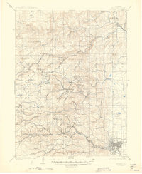
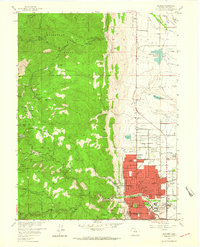
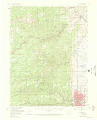
Historical Maps of El Vado Through Time
6 maps found