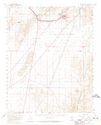
1958 Map of Boulder City
USGS Topo · Published 1965About this map
Boulder City stands at the center of this high-desert survey, appearing at a stage of established civic growth within its defined Boulder City Municipal Area. The infrastructure of the era is evident in the Boulder City Airport and the Pacific railroad line which threads through Railroad Pass to reach the town. To the west, the industrial character of the landscape is defined by extensive Gravel Pits and historical extraction points such as the Alunite Mine, while the McCullough Range and Eldorado Valley dictate the local topography.
Find a feature on this map
23 named features on this map. Tap any name to fly to it.
Don’t see what you’re looking for? This feature index may not catch every label — zoom into the map to look around manually.
Map Details
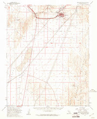
Editions of this 1958 Boulder City Map
2 editions found
Other maps of this area

1886 · Camp Mohave
USGS Topo · 1:250,000

1886 · Saint Thomas
USGS Topo · 1:250,000

1892 · Camp Mohave
USGS Topo · 1:250,000

1893 · Saint Thomas
USGS Topo · 1:250,000

1907 · Las Vegas
USGS Topo · 1:250,000

1908 · Las Vegas
USGS Topo · 1:250,000

1910 · Ivanpah
USGS Topo · 1:250,000

1912 · Ivanpah
USGS Topo · 1:250,000

1926 · Nelson
USGS Topo · 1:96,000

1926 · Boulder Canyon
USGS Topo · 1:96,000