
1955 Map of Boulder Junction
USGS Topo · Published 1957About this map
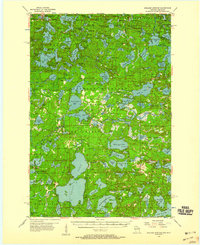
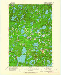
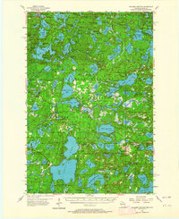
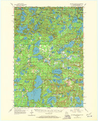
Boulder Junction and the lake-studded landscape of the Northern Highland are documented here in the mid-1950s, highlighting the region's development as a premier outdoor recreation destination. The map showcases the intricate network of water bodies crossing the Michigan-Wisconsin border, from the large Tenderfoot Lake in the north to Plum Lake in the southeast. Cultural markers like the Boy Scout Camp and Notre Dame Ch reflect the area's social growth alongside established forestry operations.
Find a feature on this map
156 named features on this map. Tap any name to fly to it.
Don’t see what you’re looking for? This feature index may not catch every label — zoom into the map to look around manually.
Map Details
Editions of this 1955 Boulder Junction Map
5 editions found
Other maps of this area

1930 · Robbins
USGS Topo · 1:48,000

1938 · Minocqua
USGS Topo · 1:48,000

1938 · Robbins
USGS Topo · 1:48,000

1938 · Lac Du Flambeau
USGS Topo · 1:48,000

1939 · Trout Lake
USGS Topo · 1:48,000

1939 · Lac Du Flambeau
USGS Topo · 1:48,000

1939 · Winchester
USGS Topo · 1:48,000

1945 · Robbins
USGS Topo · 1:48,000

1946 · Winchester
USGS Topo · 1:48,000

1946 · Star Lake
USGS Topo · 1:48,000