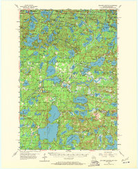
1955 Map of Boulder Junction
USGS Topo · Published 1972About this map
Northern Highland State Forest and the American Legion State Forest dominate this landscape, reflecting the mid-century character of the Wisconsin Northwoods. The settlement of Boulder Junction serves as a central hub, flanked by the Boulder Junction Airport and the Boulder Lookout Tower. The terrain is defined by a dense network of glacial lakes and waterways, including the Manitowish River, Boulder Lake, and Whitney Lake. This 1950s survey documents a region deeply invested in seasonal recreation and forest management, visible through the presence of a Boy Scout Camp and the State Forest Headquarters. To the northwest, the small settlement of Winegar sits near the Michigan-Wisconsin border, illustrating the isolated yet connected nature of these timber and resort communities. Natural features like Trout Springs and Bear Springs suggest the hydrology that sustained the local ecosystem and its early inhabitants.
Find a feature on this map
157 named features on this map. Tap any name to fly to it.
Don’t see what you’re looking for? This feature index may not catch every label — zoom into the map to look around manually.
Map Details
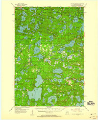
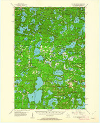
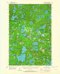
Editions of this 1955 Boulder Junction Map
5 editions found

Other maps of this area

1930 · Robbins
USGS Topo · 1:48,000

1938 · Minocqua
USGS Topo · 1:48,000

1938 · Robbins
USGS Topo · 1:48,000

1938 · Lac Du Flambeau
USGS Topo · 1:48,000

1939 · Trout Lake
USGS Topo · 1:48,000

1939 · Lac Du Flambeau
USGS Topo · 1:48,000

1939 · Winchester
USGS Topo · 1:48,000

1945 · Robbins
USGS Topo · 1:48,000

1946 · Winchester
USGS Topo · 1:48,000

1946 · Star Lake
USGS Topo · 1:48,000