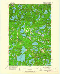
1955 Map of Boulder Junction
USGS Topo · Published 1962About this map
Winegar and the settlement at Boulder Junction anchor this mid-century portrait of the Northern Highland lake country. The landscape is dominated by glacial water bodies, from the sprawling expanse of Trout Lake and Big Muskellunge Lake to smaller basins like Armour Lake and Diamond Lake. The transition of the region into a protected recreational and conservation area is evident through the presence of the State Forest and the Ottawa National Forest, alongside the State Forest Headquarters and the Boulder Lookout Tower.
Find a feature on this map
254 named features on this map. Tap any name to fly to it.
Don’t see what you’re looking for? This feature index may not catch every label — zoom into the map to look around manually.
Map Details
Editions of this 1955 Boulder Junction Map
5 editions found

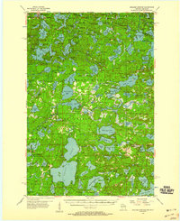
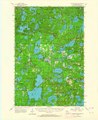
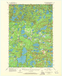
Other maps of this area

1930 · Robbins
USGS Topo · 1:48,000

1938 · Minocqua
USGS Topo · 1:48,000

1938 · Robbins
USGS Topo · 1:48,000

1938 · Lac Du Flambeau
USGS Topo · 1:48,000

1939 · Trout Lake
USGS Topo · 1:48,000

1939 · Lac Du Flambeau
USGS Topo · 1:48,000

1939 · Winchester
USGS Topo · 1:48,000

1945 · Robbins
USGS Topo · 1:48,000

1946 · Winchester
USGS Topo · 1:48,000

1946 · Star Lake
USGS Topo · 1:48,000