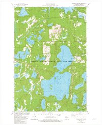
1981 Map of Boulder Junction
USGS Topo · Published 1982About this map
Trout Lake dominates this portion of the Northern Highland-American Legion State Forest, reflecting an era when this region had firmly established itself as a premier destination for recreation and conservation. The settlement of Boulder Junction serves as a central hub, surrounded by a dense network of glacial lakes including Whitney Lake, Upper Gresham Lake, and Allequash Lake. The presence of Camp Manito-wish and Camp Fiesta speaks to the long-standing tradition of summer camps in the Northwoods, while the State Forest Headquarters and a Lookout Tower emphasize the active management of the surrounding timberlands.
Find a feature on this map
45 named features on this map. Tap any name to fly to it.
Don’t see what you’re looking for? This feature index may not catch every label — zoom into the map to look around manually.
Map Details
Editions of this 1981 Boulder Junction Map
2 editions found
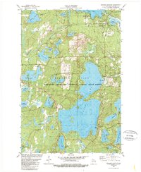
Other maps of this area

1938 · Minocqua
USGS Topo · 1:48,000

1938 · Lac Du Flambeau
USGS Topo · 1:48,000

1939 · Trout Lake
USGS Topo · 1:48,000

1939 · Lac Du Flambeau
USGS Topo · 1:48,000

1939 · Winchester
USGS Topo · 1:48,000

1946 · Winchester
USGS Topo · 1:48,000

1946 · Minocqua
USGS Topo · 1:48,000

1946 · Lac Du Flambeau
USGS Topo · 1:48,000

1946 · Trout Lake
USGS Topo · 1:48,000

1949 · Trout Lake
USGS Topo · 1:48,000