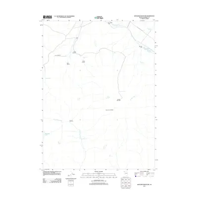
2011 Map of Boulder Mountain
USGS Topo · Published 2011About this map
Home Camp and the high desert rangelands of northern Washoe County define this 2011 survey, showing a landscape shaped by remote livestock operations and water management. The terrain is marked by seasonal and permanent water sources essential for survival in this arid region, ranging from Mahogany Lake and Black Rock Reservoir to numerous named springs such as Coyote Spring and Chicken Spring.
Find a feature on this map
26 named features on this map. Tap any name to fly to it.
Don’t see what you’re looking for? This feature index may not catch every label — zoom into the map to look around manually.
Map Details
Editions of this 2011 Boulder Mountain Map
This is the sole edition of this map. No revisions or reprints were ever made.
Other maps of this area

1889 · Long Valley
USGS Topo · 1:250,000

1954 · Vya
USGS Topo · 1:250,000

1958 · Vya
USGS Topo · 1:250,000

1962 · Vya
USGS Topo · 1:250,000
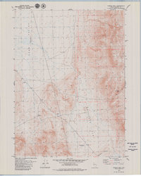
1979 · Powers Well
USGS Topo · 1:24,000
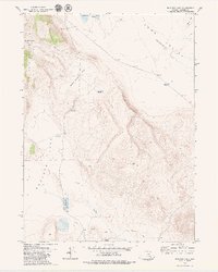
1979 · Boulder Lake
USGS Topo · 1:24,000
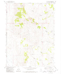
1979 · Hays Canyon
USGS Topo · 1:24,000
1979 · Wall Canyon Reservoir
USGS Topo · 1:24,000
1979 · Boulder Mtn.
USGS Topo · 1:24,000
1979 · Pinto Springs
USGS Topo · 1:24,000