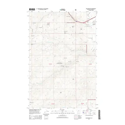
2014 Map of Boulder West
USGS Topo · Published 2014About this map
Deerlodge National Forest dominates this mountain landscape west of the town of Boulder, Montana. The terrain is characterized by a dense network of gulches and ridges, where historical mining and ranching legacies are evident in the naming of features such as Galena Park and Old Hay Day Mine Rd. The drainage systems of the Boulder River and Little Boulder River carve through the high country, supported by numerous tributaries like Elder Cr and Whitetail Deer Cr. In the northeastern corner, Pulpit Rock stands as a prominent landmark near the river, while the complex topography is further defined by Doe Ridge and Berkin Gulch. This survey captures the intersection of public forest lands and the developed outskirts of the county seat, providing a precise record of the road systems including Silver Bell Rd and Cattle Drive Rd that connect these mountain valleys.
Find a feature on this map
50 named features on this map. Tap any name to fly to it.
Don’t see what you’re looking for? This feature index may not catch every label — zoom into the map to look around manually.
Map Details
Editions of this 2014 Boulder West Map
This is the sole edition of this map. No revisions or reprints were ever made.
Other maps of this area

1889 · Helena
USGS Topo · 1:250,000

1893 · Helena
USGS Topo · 1:250,000

1899 · Boulder
USGS Topo · 1:125,000

1899 · Helena
USGS Topo · 1:250,000

1903 · Helena
USGS Topo · 1:250,000

1947 · Butte
USGS Topo · 1:250,000

1950 · Jefferson City
USGS Topo · 1:62,500

1954 · Elk Park
USGS Topo · 1:62,500

1954 · Basin
USGS Topo · 1:62,500

1954 · Boulder
USGS Topo · 1:62,500