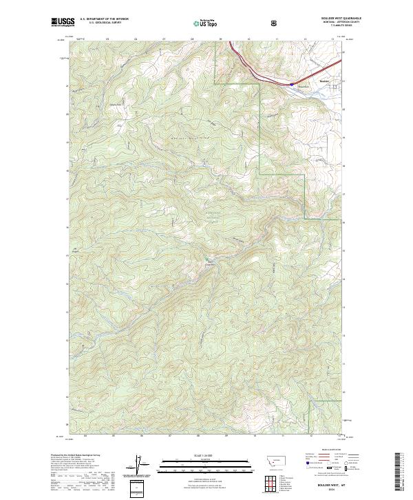
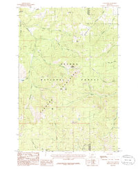
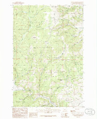
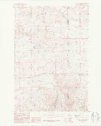
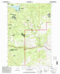
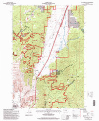
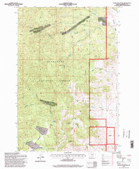
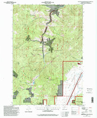
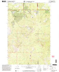
2024 Map of Boulder West
USGS Topo · Published 2024About this map
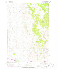
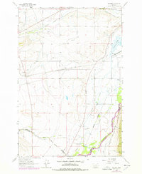
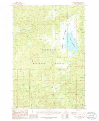
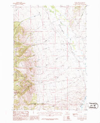
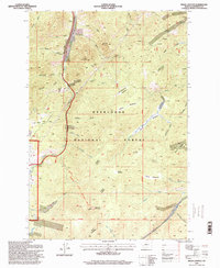
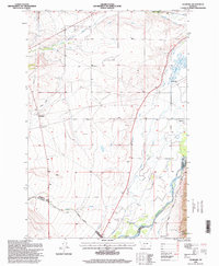
Deerlodge National Forest covers much of this Jefferson County landscape, where the Boulder Mountains rise above the drainage systems of the Boulder River and the Little Boulder River. The settlement of Boulder sits at the northeastern corner of the map, serving as a gateway to the high country. Evidence of the region’s development and topography is found in the network of canyon roads and trails, including Silver Bell Rd and Galena Gulch Rd, which navigate the steep terrain between Mt Pisgah and Pulpit Rock. The concentration of gulches like Poore Gulch and Galena Gulch suggests a landscape shaped by historical mining and timber interests. Public recreation is anchored at Elder Creek Park, while numerous watercourses such as North Fork Little Boulder River and Whitetail Deer Creek define the complex hydrological pattern of the western front.
Find a feature on this map
45 named features on this map. Tap any name to fly to it.
Don’t see what you’re looking for? This feature index may not catch every label — zoom into the map to look around manually.
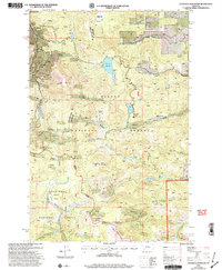
Map Details
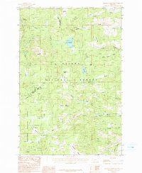
Editions of this 2024 Boulder West Map
This is the sole edition of this map. No revisions or reprints were ever made.
Historical Maps of Mountain Valley Trailer Court Through Time
84 maps found
1950 Devils Fence
Jefferson County, MT
1950 Jefferson Island
Jefferson County, MT
1954 Elk Park
Jefferson County, MT
1963 Black Butte
Jefferson County, MT
1963 Delmoe Lake
Jefferson County, MT
1963 Dry Mountain
Jefferson County, MT
1963 Grace
Jefferson County, MT
1963 Vendome
Jefferson County, MT
1985 Bison Canyon
Jefferson County, MT
1985 Boulder East
Jefferson County, MT
1985 Boulder West
Jefferson County, MT
1985 Casey Peak
Jefferson County, MT
1985 Chessman Reservoir
Jefferson County, MT
1985 Crow Creek Falls
Jefferson County, MT
1985 Elk Park Pass
Jefferson County, MT
1985 Mount Thompson
Jefferson County, MT
1985 Ratio Mountain
Jefferson County, MT
1985 Sheepshead Mountain
Jefferson County, MT
1985 Thunderbolt Creek
Jefferson County, MT
1985 Whitetail Peak
Jefferson County, MT
1985 Wickes
Jefferson County, MT
1985 Wilson Park
Jefferson County, MT
1986 Devils Fence
Jefferson County, MT
1986 Dunn Creek
Jefferson County, MT
1986 Tacoma Park
Jefferson County, MT
1986 Willow Springs
Jefferson County, MT
1987 Doherty Mountain
Jefferson County, MT
1987 Milligan Canyon
Jefferson County, MT

1987 Negro Hollow
Jefferson County, MT
1987 Sappington
Jefferson County, MT
1989 Lockhart Meadows
Jefferson County, MT
1994 Butte North
Jefferson County, MT
1996 Bison Canyon
Jefferson County, MT
1996 Black Butte
Jefferson County, MT
1996 Boulder East
Jefferson County, MT
1996 Boulder West
Jefferson County, MT
1996 Delmoe Lake
Jefferson County, MT
1996 Doherty Mountain
Jefferson County, MT
1996 Dry Mountain
Jefferson County, MT
1996 Dunn Creek
Jefferson County, MT
1996 Elk Park Pass
Jefferson County, MT
1996 Grace
Jefferson County, MT
1996 Lockhart Meadows
Jefferson County, MT
1996 Mount Thompson
Jefferson County, MT
1996 Ratio Mountain
Jefferson County, MT
1996 Sheepshead Mountain
Jefferson County, MT
1996 Tacoma Park
Jefferson County, MT
1996 Thunderbolt Creek
Jefferson County, MT
1996 Vendome
Jefferson County, MT
1996 Whitetail Peak
Jefferson County, MT
1996 Wickes
Jefferson County, MT
1996 Wilson Park
Jefferson County, MT
2001 Casey Peak
Jefferson County, MT
2001 Chessman Reservoir
Jefferson County, MT
2001 Crow Creek Falls
Jefferson County, MT
2001 Devils Fence
Jefferson County, MT
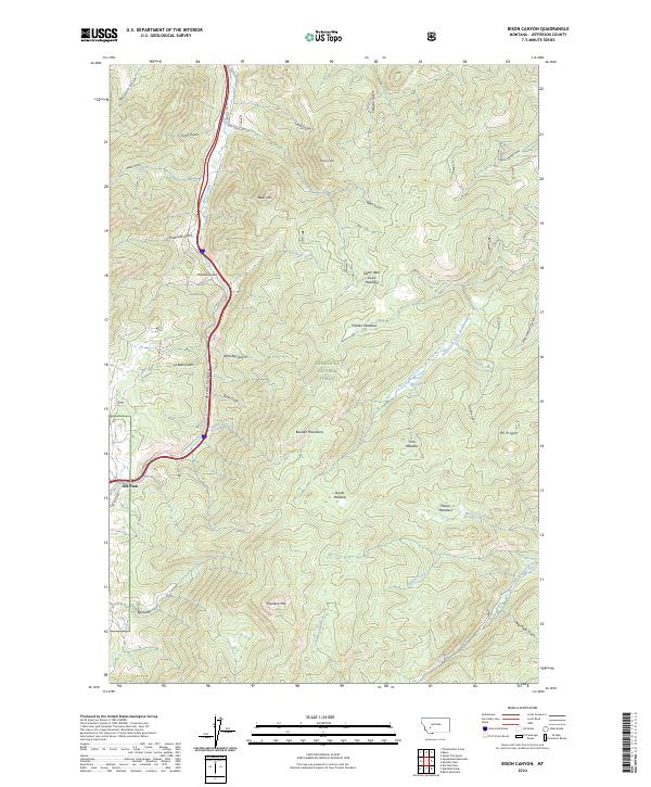
2024 Bison Canyon
Jefferson County, MT
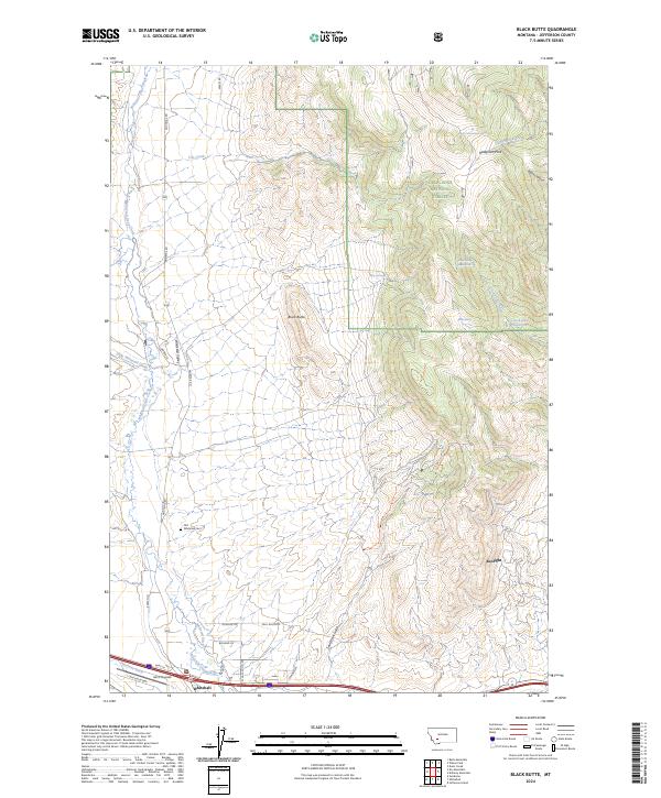
2024 Black Butte
Jefferson County, MT
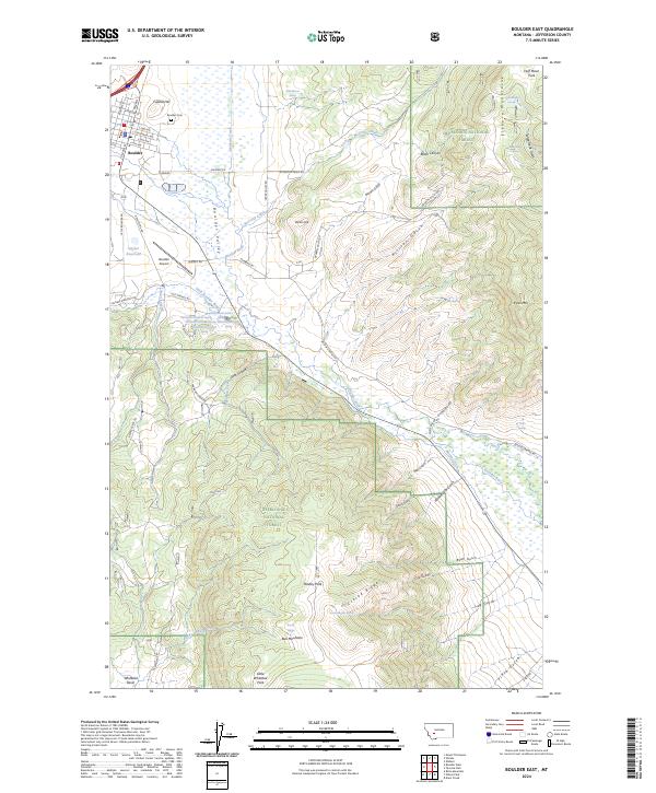
2024 Boulder East
Jefferson County, MT
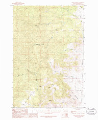
2024 Boulder West
Jefferson County, MT
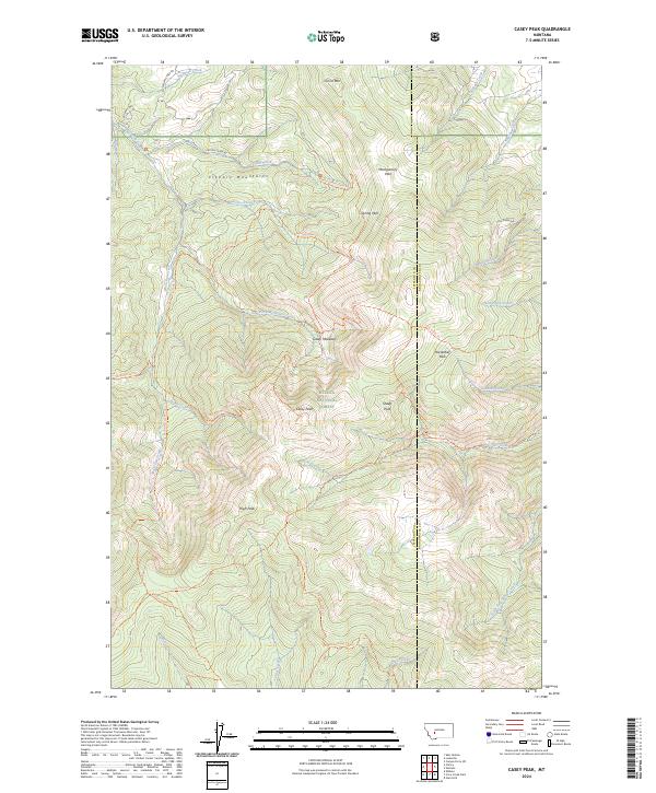
2024 Casey Peak
Jefferson County, MT
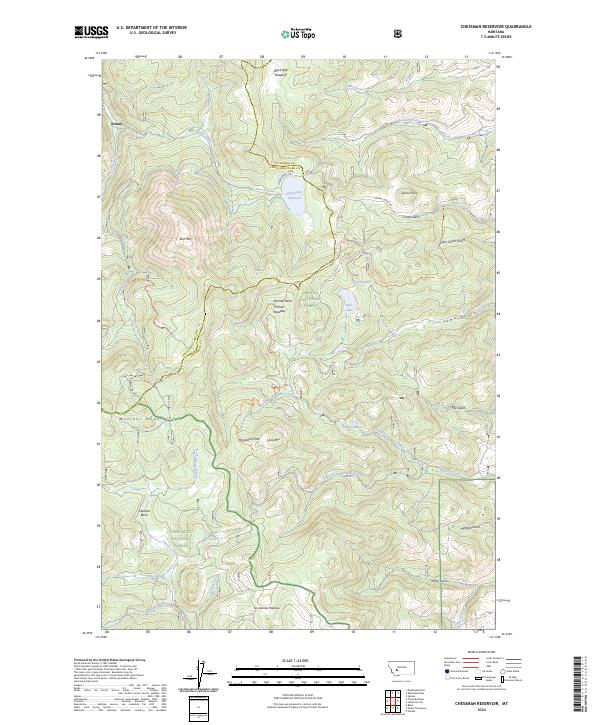
2024 Chessman Reservoir
Jefferson County, MT
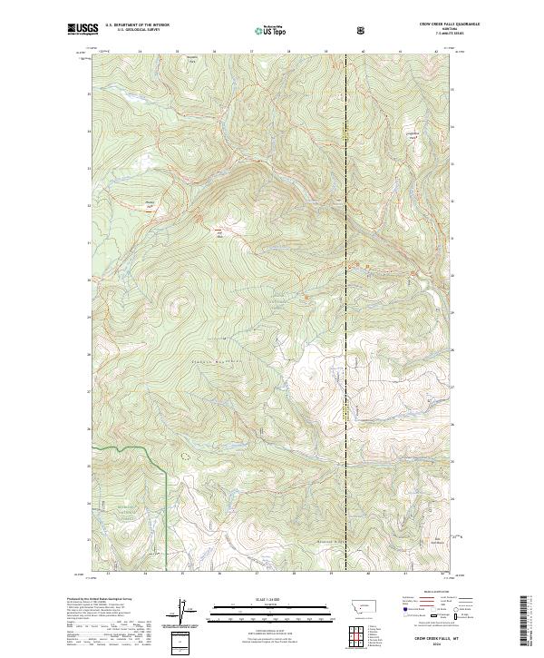
2024 Crow Creek Falls
Jefferson County, MT
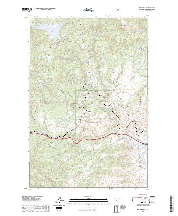
2024 Delmoe Lake
Jefferson County, MT
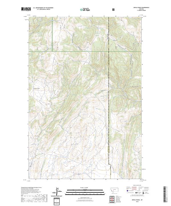
2024 Devils Fence
Jefferson County, MT
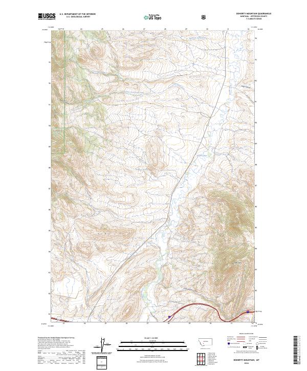
2024 Doherty Mountain
Jefferson County, MT
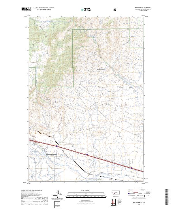
2024 Dry Mountain
Jefferson County, MT
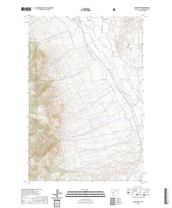
2024 Dunn Creek
Jefferson County, MT
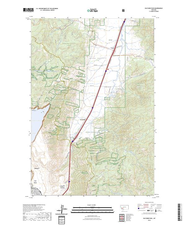
2024 Elk Park Pass
Jefferson County, MT
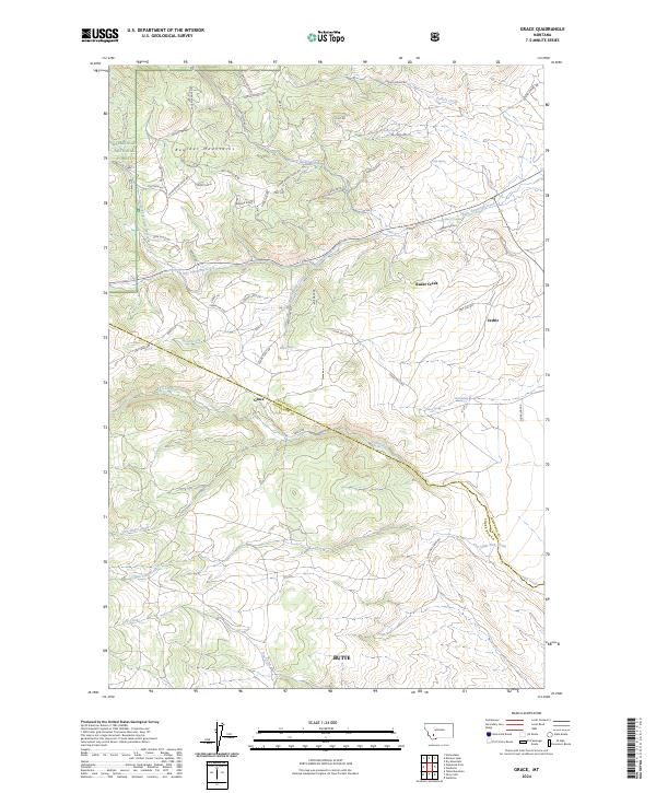
2024 Grace
Jefferson County, MT
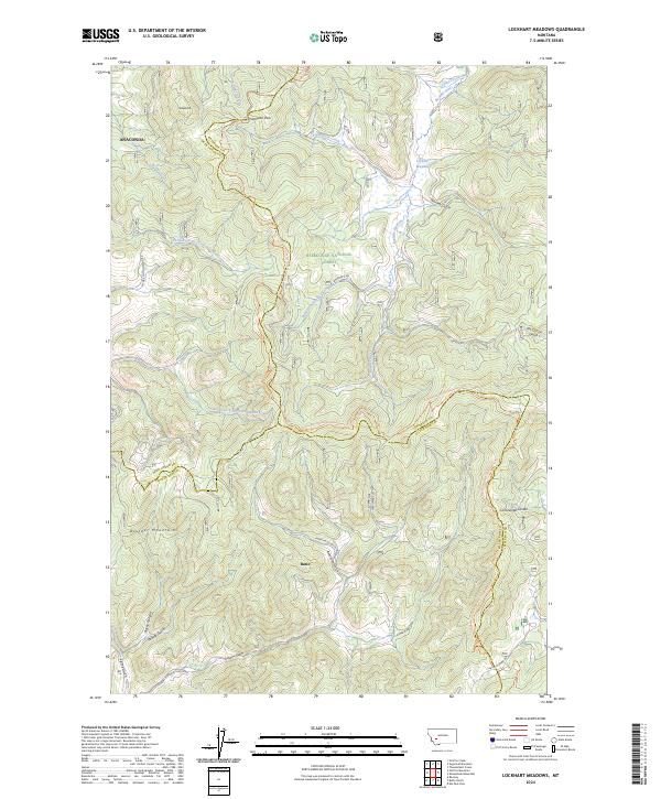
2024 Lockhart Meadows
Jefferson County, MT
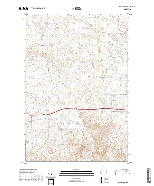
2024 Milligan Canyon
Jefferson County, MT
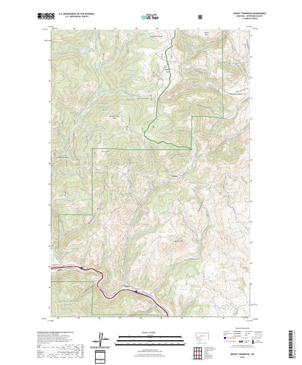
2024 Mount Thompson
Jefferson County, MT
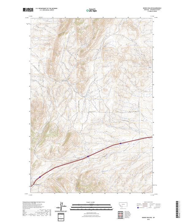
2024 Negro Hollow
Jefferson County, MT
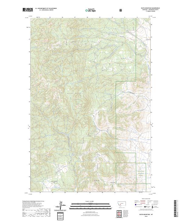
2024 Ratio Mountain
Jefferson County, MT
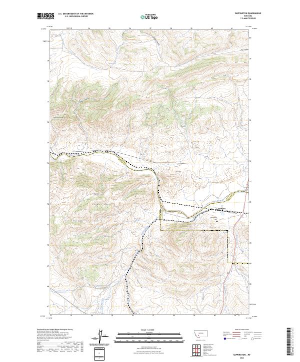
2024 Sappington
Jefferson County, MT
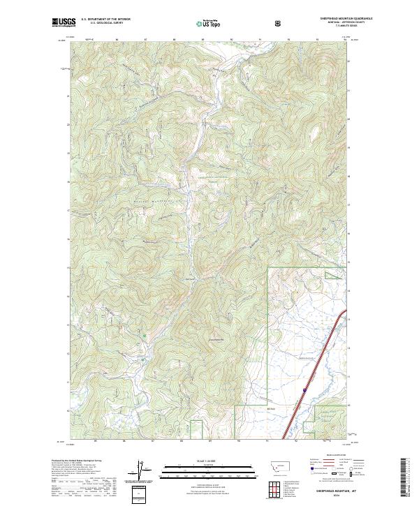
2024 Sheepshead Mountain
Jefferson County, MT
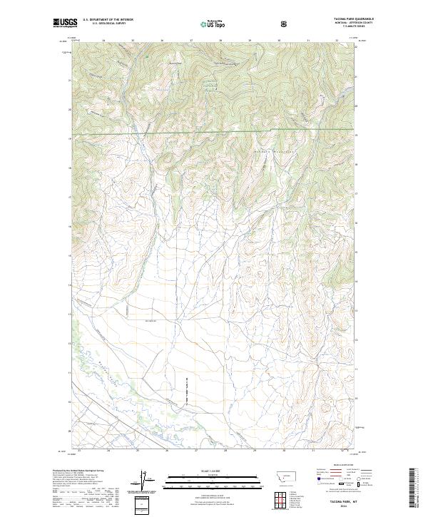
2024 Tacoma Park
Jefferson County, MT
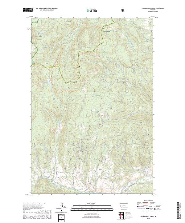
2024 Thunderbolt Creek
Jefferson County, MT
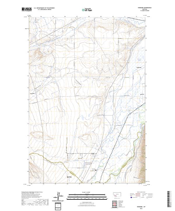
2024 Vendome
Jefferson County, MT
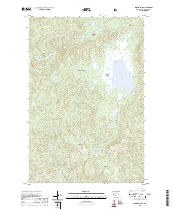
2024 Whitetail Peak
Jefferson County, MT
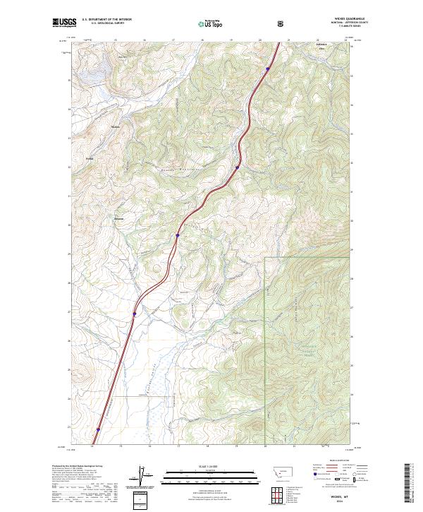
2024 Wickes
Jefferson County, MT
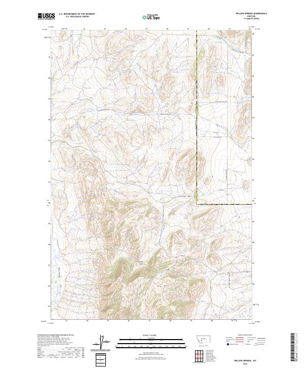
2024 Willow Springs
Jefferson County, MT
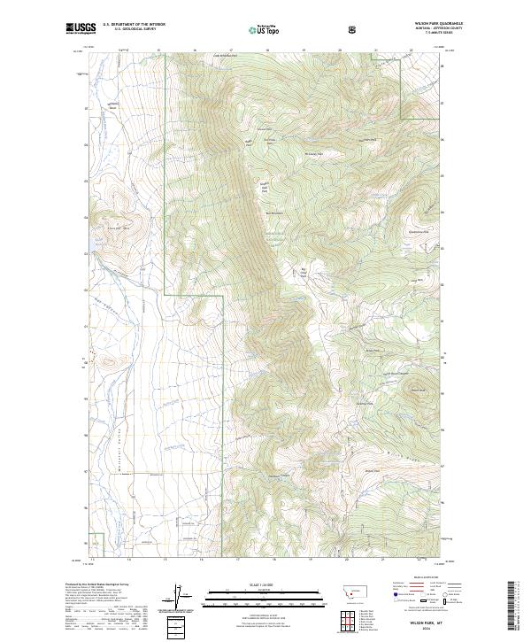
2024 Wilson Park
Jefferson County, MT