
1919 Map of Boulogne
USGS Topo · Published 1919About this map
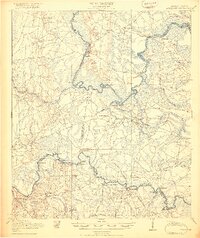
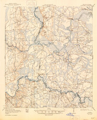
The St Marys River and Satilla River define this coastal borderland, where the economy of the late 1910s relied heavily on water-borne transport and small-scale timber milling. A dense network of landings along the St Marys, including Gum Stump Landing, White Sand Ldg, and Brickyard Ldg, underscores the importance of the river for moving goods before the widespread development of modern highways. Notable river crossings like Owens Ferry and Kings Ferry served as vital nodes for local travel between Georgia and Florida.
Find a feature on this map
60 named features on this map. Tap any name to fly to it.
Don’t see what you’re looking for? This feature index may not catch every label — zoom into the map to look around manually.
Map Details
Editions of this 1919 Boulogne Map
3 editions found
Other maps of this area

1917 · Nahunta
USGS Topo · 1:62,500

1917 · Boulogne
USGS Topo · 1:62,500

1917 · Hilliard
USGS Topo · 1:62,500

1918 · St Marys
USGS Topo · 1:62,500

1918 · Folkston
USGS Topo · 1:62,500

1918 · Moniac
USGS Topo · 1:62,500

1918 · Nahunta
USGS Topo · 1:62,500

1918 · Bladen
USGS Topo · 1:62,500

1918 · Kingsland
USGS Topo · 1:62,500

1919 · St Marys
USGS Topo · 1:62,500