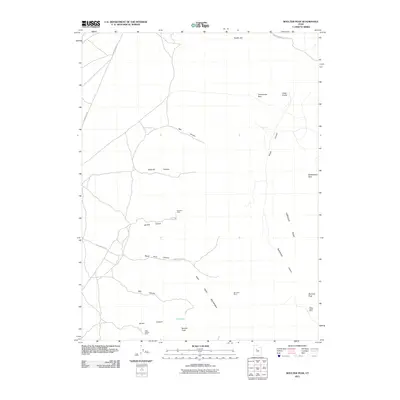
2011 Map of Boulter Peak
USGS Topo · Published 2011About this map
Mining sites and high-elevation terrain define this portion of the East Tintic Mountains in the early 21st century. The map highlights a legacy of resource extraction, with locations such as the Scranton Mine and the Hot Stuff Mine situated among the various canyons. Transportation through these high passes is marked by routes like Tenmile Pass Rd and the suggestive Railroad Bed Rd, which cuts across the northwestern quadrant.
Find a feature on this map
24 named features on this map. Tap any name to fly to it.
Don’t see what you’re looking for? This feature index may not catch every label — zoom into the map to look around manually.
Map Details
Editions of this 2011 Boulter Peak Map
This is the sole edition of this map. No revisions or reprints were ever made.
Other maps of this area

1885 · Sevier Desert
USGS Topo · 1:250,000

1885 · Tooele Valley
USGS Topo · 1:250,000

1947 · Fivemile Pass
USGS Topo · 1:62,500

1947 · Allens Ranch
USGS Topo · 1:24,000

1947 · Boulter Peak
USGS Topo · 1:24,000

1947 · Goshen Pass
USGS Topo · 1:24,000

1949 · Eureka
USGS Topo · 1:24,000

1949 · Allens Ranch
USGS Topo · 1:24,000

1949 · Fivemile Pass
USGS Topo · 1:24,000

1949 · Goshen Pass
USGS Topo · 1:24,000