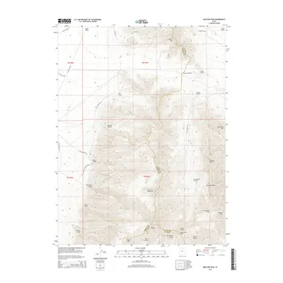
2014 Map of Boulter Peak
USGS Topo · Published 2014About this map
The East Tintic Mountains dominate this 2014 survey, marking the intersection of Tooele, Utah, and Juab counties. High peaks and deep canyons define the landscape, with Boulter Peak and Bismark Peak standing as prominent landmarks. The map documents a sophisticated network of back-country access, from Bell Foothills Rd to the winding Barlow Canyon Rd, which traces the contours of Barlow Canyon.
Find a feature on this map
44 named features on this map. Tap any name to fly to it.
Don’t see what you’re looking for? This feature index may not catch every label — zoom into the map to look around manually.
Map Details
Editions of this 2014 Boulter Peak Map
This is the sole edition of this map. No revisions or reprints were ever made.
Other maps of this area

1885 · Sevier Desert
USGS Topo · 1:250,000

1885 · Tooele Valley
USGS Topo · 1:250,000

1947 · Fivemile Pass
USGS Topo · 1:62,500

1947 · Allens Ranch
USGS Topo · 1:24,000

1947 · Boulter Peak
USGS Topo · 1:24,000

1947 · Goshen Pass
USGS Topo · 1:24,000

1949 · Eureka
USGS Topo · 1:24,000

1949 · Allens Ranch
USGS Topo · 1:24,000

1949 · Fivemile Pass
USGS Topo · 1:24,000

1949 · Goshen Pass
USGS Topo · 1:24,000