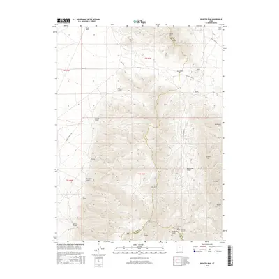
2017 Map of Boulter Peak
USGS Topo · Published 2017About this map
The East Tintic Mountains dominate this landscape where Tooele, Utah, and Juab counties converge. This 2017 study illustrates a high-desert environment defined by severe elevation changes, ranging from the low-lying reaches of Rush Valley to the 8,000-foot heights of Boulter Peak. The convergence of several distinct canyons, including Barlow Canyon, Black Rock Canyon, and Holdaway Canyon, suggests a complex drainage pattern that historically dictated transit through these passes.
Find a feature on this map
38 named features on this map. Tap any name to fly to it.
Don’t see what you’re looking for? This feature index may not catch every label — zoom into the map to look around manually.
Map Details
Editions of this 2017 Boulter Peak Map
This is the sole edition of this map. No revisions or reprints were ever made.
Other maps of this area

1885 · Sevier Desert
USGS Topo · 1:250,000

1885 · Tooele Valley
USGS Topo · 1:250,000

1947 · Fivemile Pass
USGS Topo · 1:62,500

1947 · Allens Ranch
USGS Topo · 1:24,000

1947 · Boulter Peak
USGS Topo · 1:24,000

1947 · Goshen Pass
USGS Topo · 1:24,000

1949 · Eureka
USGS Topo · 1:24,000

1949 · Allens Ranch
USGS Topo · 1:24,000

1949 · Fivemile Pass
USGS Topo · 1:24,000

1949 · Goshen Pass
USGS Topo · 1:24,000